
- Sacombe 1 and Thundridge 41 BOAT, Lowgate Lane
- Sacombe 4 BW, from Sacombe Green to Sacombe 5 BW
- Sacombe 5, Bengeo 1 and Thundridge 35 BW
- Sacombe 12 and Bengeo Rural 23 BW, from road by Church to A602
- A602 Crossing between Bengeo Rural 23 BW and Bengeo Rural 27 BW
- Sacombe 20 RB and Bengeo Rural 18 BW, off Stony Hills
- Sacombe 21 BW, from Glebe House to Sacombe Pound
- Sacombe 25 and Bengeo Rural 27 BW, from A602 to Stony Hills (public road)
- Sacombe 15 FP (applied for RB status)
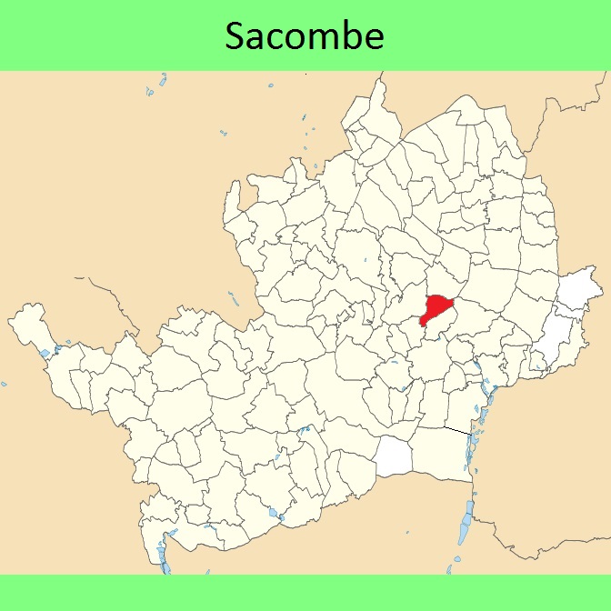
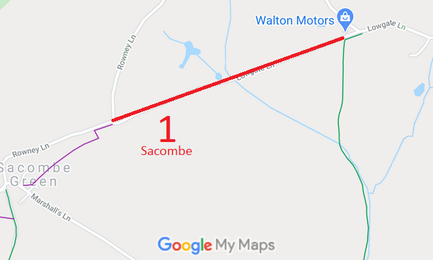
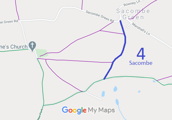
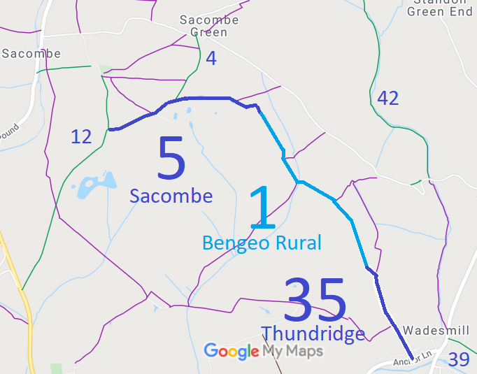
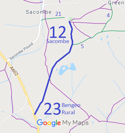
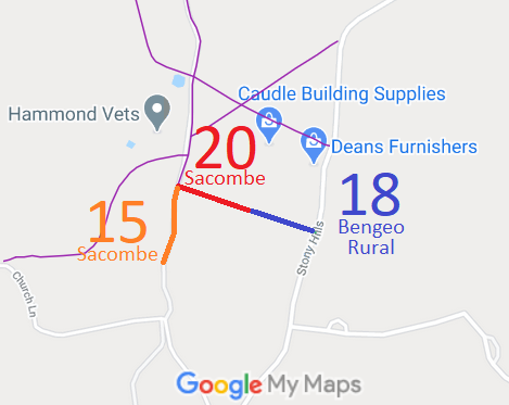

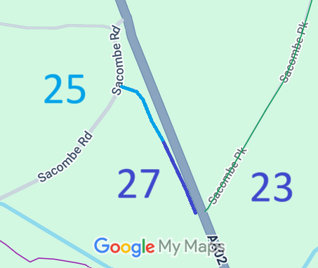
Annotated maps reproduced courtesy of Googlemaps.


 Local Government: Formerly within Hertford Rural District. From 1974, part of East Hertfordshire District.
Tithe (1839) DSA4/84/2. Inclosure (1851) [Bengeo, Sacombe and Stapleford]

