
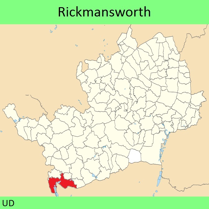
- Rickmansworth 2 and Chorleywood 33 BW, Part of Shire Lane
- Rickmansworth 4 BW, Old Uxbridge Road to Shire Lane
- Rickmansworth 10 BW, Denham Way to Long Lane
- Rickmansworth 10 Spur BW from BW 10 to Rickmansworth 61 BW
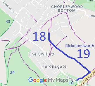
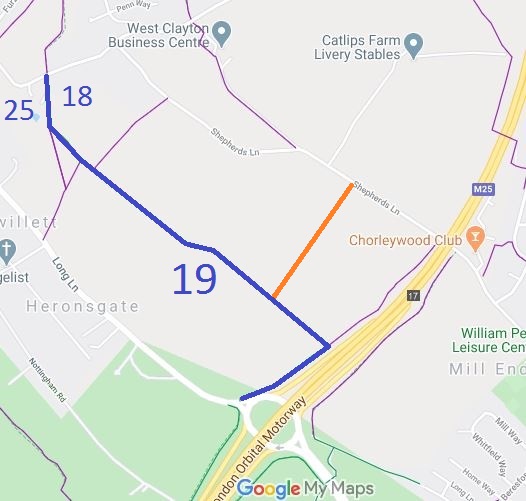
- Rickmansworth 18 and 19 BW, Stag Lane to Long Lane
- Rickmansworth 73 from BW 19 to Shepherds Lane (order made Sep 2026)
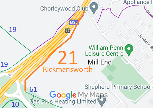
- Used route 21 from BW 61 to Shepherds Lane
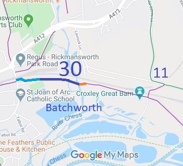
- Batchworth 30 BW from Caravan Lane off the High Street
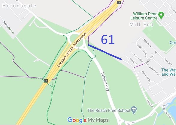
- Rickmansworth 61 BW, from FP21 to BW 10 then to Long Lane
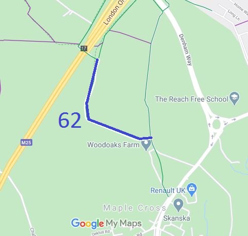
- Rickmansworth 62 BW, from BW10 through Ladywalk Wood to BW10
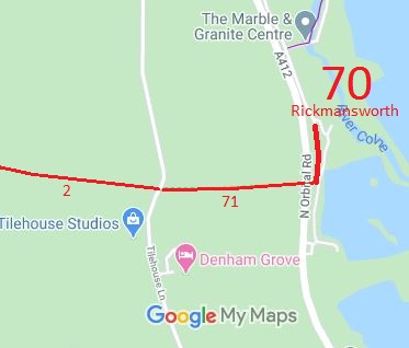
- Rickmansworth 70 BOAT - Part of Old Uxbridge Road
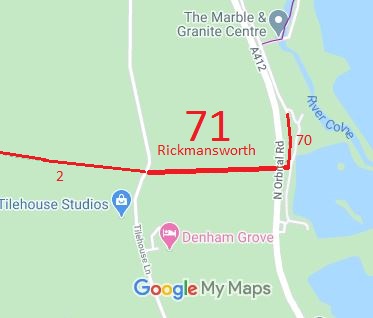
- Rickmansworth 71 RB - Part of Shire Lane, from Tilehouse Lane to A412
- Batchworth BWP Permissive bridleway at Bishops Wood Park
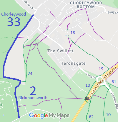
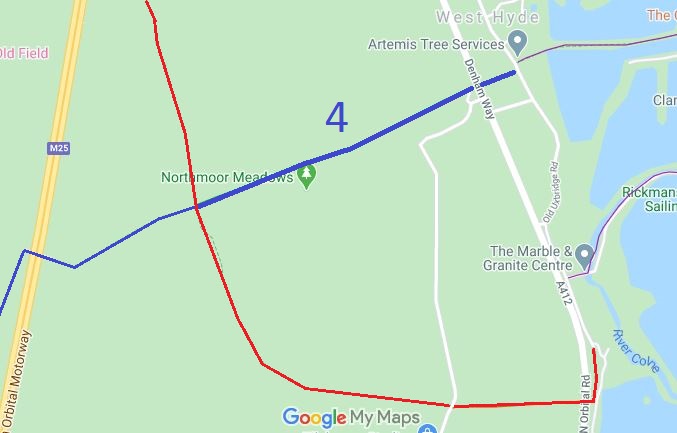
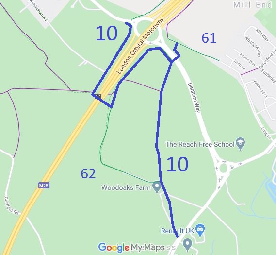
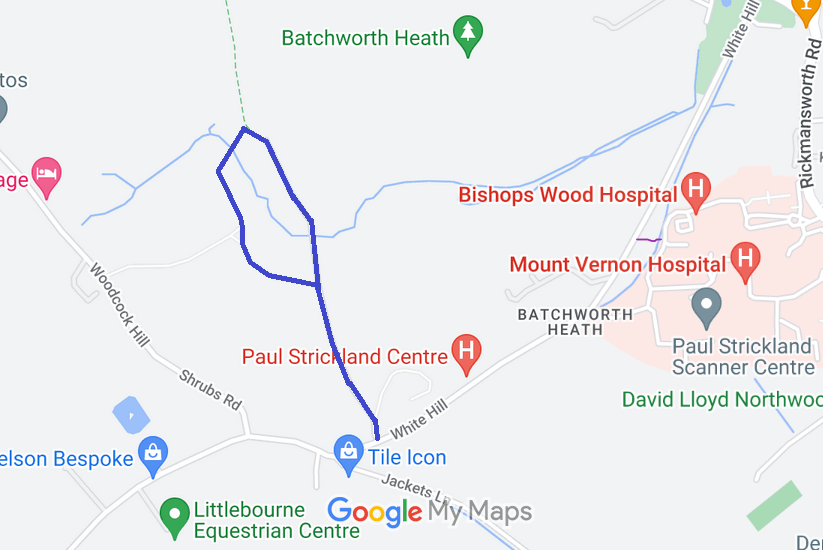
Annotated maps reproduced courtesy of Googlemaps.


 Local Government: Formerly within Rickmansworth Urban District. From 1974, part of Three Rivers District.
The Parish of Batchworth was created in 2017 [1] but does not cover the whole of the former Urban District area.
Tithe (1839) DSA4/80/2. Inclosure (1859).
 Projects: Ebury Way

