
- Northaw 10 & 16, Hook Lane, from Northaw Road West to Coopers Lane Road (Dec 09)
- Northaw 14 and Enfield 110, Coopers Lane Road to The Ridgeway
- Northaw 17 Bridleway that links Northaw 10 and Northaw 14 and gets riders off much of Coopers Lane Road (Aug 15)
- Northaw 17 Extension - Major Project to extend Northaw 17.
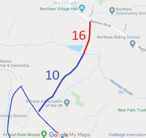
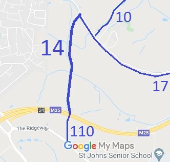
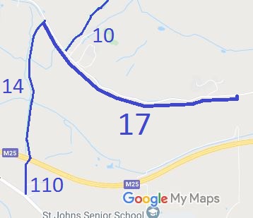
Annotated maps reproduced courtesy of Googlemaps.

 Local Government: Formerly within Hatfield Rural District.
From 1974, part of Welwyn Hatfield District.
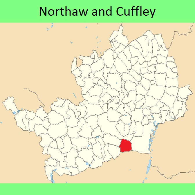
The Parish of Northaw was renamed to 'Northaw and Cuffley' in 1982.
The Parish of Northaw was added to the Metropolitan Police District on 3 Jan 1840 and so any commons in the parish are 'Metropolitan Commons'.
inclosure (1807). Tithe (Northaw) (1847) DP/73/27/2.

