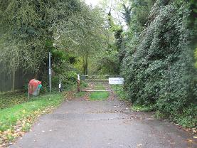
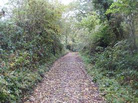
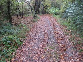
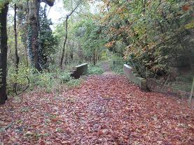
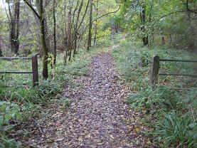
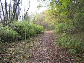
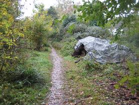
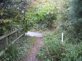
Legal History
3 Jul 1964: Objection 147 to the draft map and statement asked for a FP to be added from the southern end of Hook Lane (unclassified road) to Coopers Lane Road. The County Council determined that this route should be added as FP 10.
20 Jun 1953: Northaw 10 was recorded as a footpath on the original definitive map and statement and Northaw 16 was not recorded at all.
DM Sheet DM3-33 (TL20SE).
31 Dec 1977: Northaw 10 was recorded as a footpath on the special review draft map and Northaw 16 was not recorded at all.
DM Sheet SR-79 (TL20SE).
8 May 2004: Application to record Hook Lane as a byway and upgrade Northaw 10 FP to BW. HCC reference W+H/069.
2 May 2006: NERC exemption s.67(2)(b) as Hook Lane (later Northaw 16) was not on DM but was on LOS.
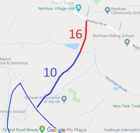
4 Sep 2009: The Hertfordshire County Council (Northaw 10 and 16) Modification Order 2009 (confirmed 23 Dec 2009) changed the depiction of Northaw 10 on the definitive map from footpath to bridleway and recorded Northaw 16 as a byway.
|
| Application Process |
| Path |
Application |
Certificate |
Direction |
Inv Report |
Order |
Confirmed |
| EC177 |
8 May 2004 W+H/069 |
8 Nov 2008 |
Not Needed |
19 Nov 2008 |
4 Sep 2009 |
23 Sep 2009 |
|
Definitive Statement (26 Mar 09)
Path: [Northaw] 16. Status: Byway
Definitive Map sheet: 79
Hook Lane, commences at a junction with Northaw Road West at TL 2807 0214 running
generally southwards for approximately 340 metres to a junction with Northaw 10 at
TL 2802 0181.
Width: Varying width of between 5 and 14 metres from TL2807 0214 to
TL 2802 0181 as shown shaded grey on the Hertfordshire County
Council (Northaw 10 and 16) Modification Order 2009.
2.8m at TL 2802 0181
Limitations: None
Path: [Northaw] 10. Status: Bridleway
Definitive Map sheet: 79
Hook Lane, Commences from a junction with Northaw 16 at TL 2802 0181 running generally south west for approximately 535 metres to a
junction with the northern end of the Hook Cottages access road at TL 2771 0138. Continuing
generally south west for approximately 190 metres to a junction with Coopers Lane Road at
TL 2759 0124.
Width: 2.8m at TL 2802 0181
4 metres from TL 2802 0181 to TL 2772 0139
2.7 metres from TL 2772 0139 to TL 2771 0138
4 metres from TL 2771 0138 to TL 2759 0124
Limitations: None
|
Maintainability
Northaw 16 is maintainable at the public expense because it was a highway before 1835.
Northaw 10 is maintainable at the public expense because it was a footpath or bridleway existing before 30 Apr 1959.
|
|

 A special acknowledgement is due to the North Mymms Riding Club for collecting user evidence which helped have the route recorded.
We worked with the British Horse Society on the historical evidence and making the formal application to have the path investigated.