Legal History
1938: The route is shown as Lilley BW 1 on the Hertfordshire County Council ROW survey.
Map Hitchin West 6 (Herts 9 NW).
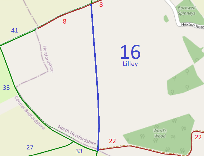
1 Nov 1953: Lilley 16 was recorded as a bridleway on the original definitive map and statement.
DM sheet DM4-27 (Herts 11 NW).
31 Dec 1977: Lilley 16 was shown as a bridleway on the special review draft map and statement.
DM sheet SR-19 (TL12NW).
|
Definitive Statement (4 Dec 2015)
Path: [Lilley] 16. Status: Bridleway.
Definitive Map sheet: 19
Commences from Wardswood Lane at parish boundary W of Ward's Wood thence N to join Icknield Way SW of Floodhole Plantation.
It would be good if it were noted that Wardswood Lane is also Lilley 22 BOAT, and that the icknield Way is also Hexton 8 BOAT.
|