
- Hormead 1 & 3 BW from the Hare Street to Barkway road to Andersons Lane
- Hormead 5 BOAT, from road to junction of Hormead 6 and 7
- Hormead 6 BOAT, from junction of Hormead 5 and 7 to road
- Hormead 7 and Anstey 19 BW from Hormead 5 and 6 to road
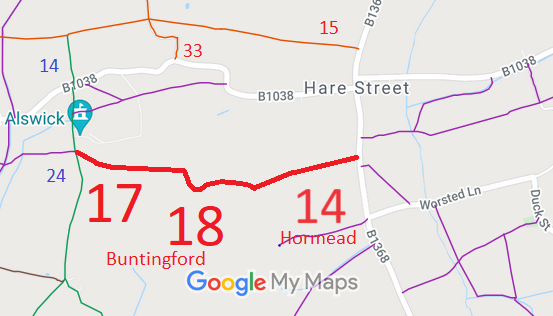
- Hormead 14, Buntingford 17 and 18 RB from B1368 to Buntingford 24
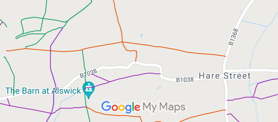
- Hormead 15 and Buntingford 8 RB
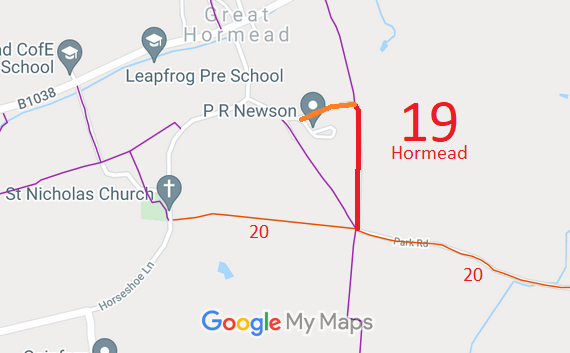
- Hormead 19 BOAT, from Willow Close to Hormead 20 RB
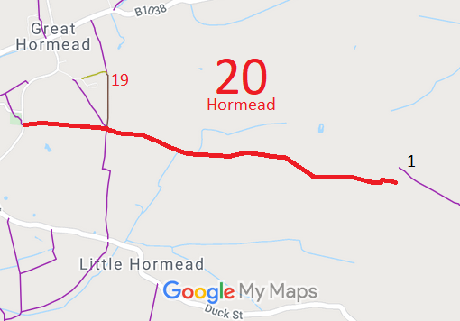
- Hormead 20 RB, from Horseshoe Lane to parish boundary
- Hormead 25, Anstey 16 and Wyddial 11 RB, from London Road to Buntingford 9 RB
- Hormead 33 and Buntingford 9 RB, from Hare Street Road to Buntingford 10 and 11
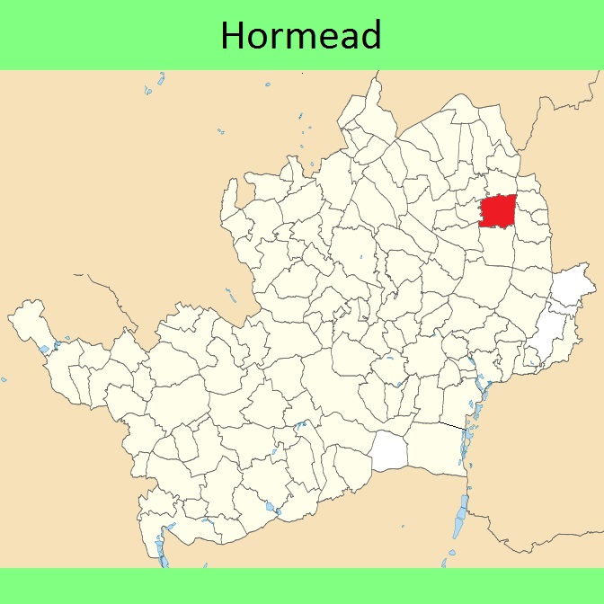
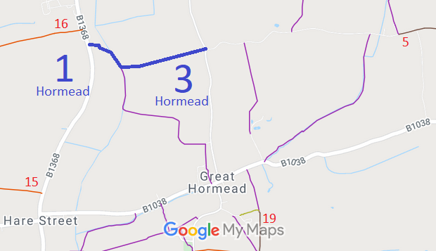
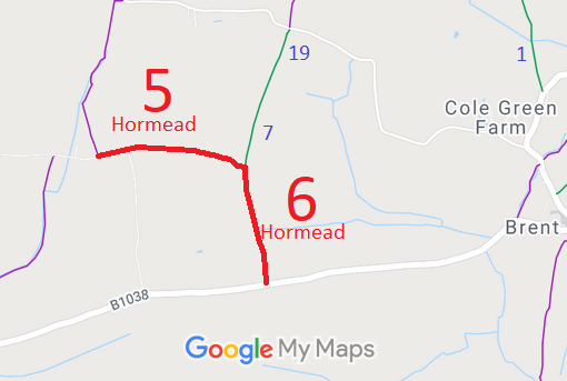
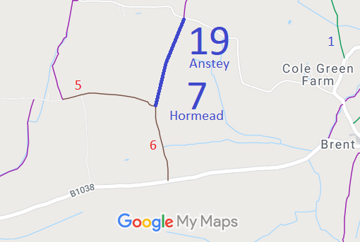
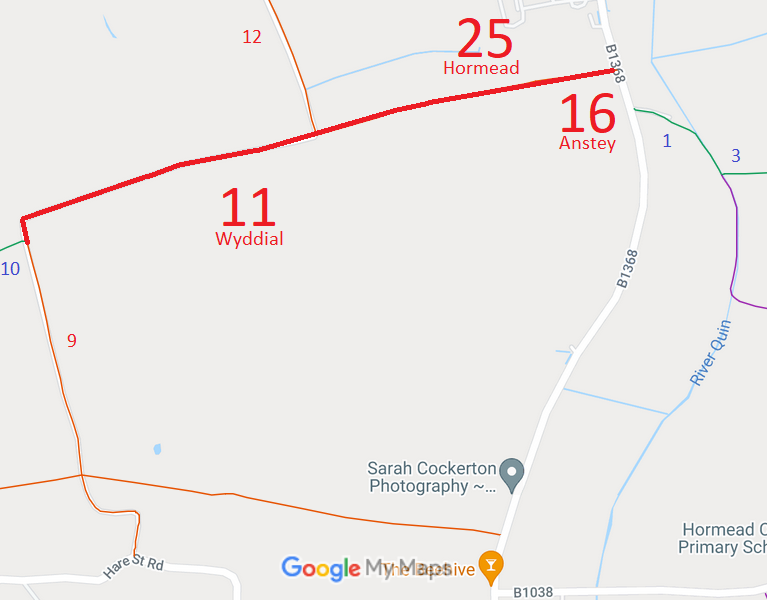
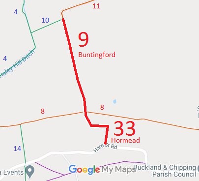
Annotated maps reproduced courtesy of Googlemaps.


 Local Government: Formerly within Braughing Rural District. From 1974, part of East Hertfordshire District.
Inclosure (Great Hormead) (1823). Tithe (Little Hormead) (1844) DSA4/55/2. Inclosure (Little Hormead and Layston) (1864).

