
- Great Amwell 25 and 40 BW from Hoe Lane to A1170
- Great Amwell 39 RB, Thieves Lane
- Great Amwell 18 joining two parts of Hillside Lane
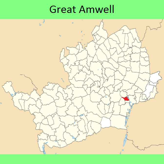
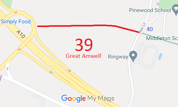
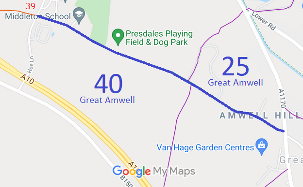
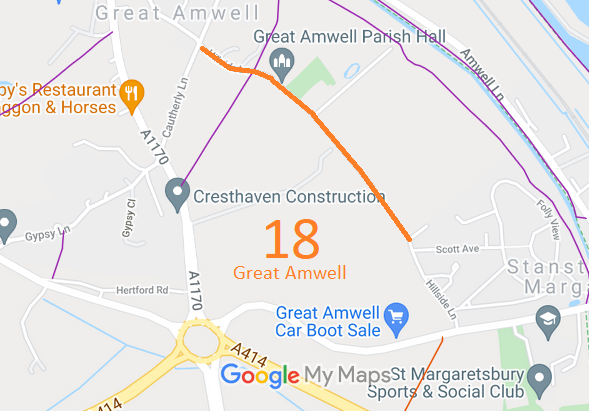
Annotated maps reproduced courtesy of Googlemaps.



 Local Government: Formerly within Ware Rural District. From 1974, part of East Hertfordshire District.
Tithe (1839) DSA4/4/2. Inclosure (Great Amwell, Little Amwell, Stanstead St Margarets) (1840). Inclosure (Hoddesdon and Great Amwell) (1854). Inclosure (Great Amwell) (1861). Inclosure (Great Amwell) (1863).

