
- Eastwick and Gilston 2 BW and High Wych 37, Cockrobin Lane, from Eastwick Hall Lane N and E to parish boundary (formerly Eastwick 2 CRB)
- Eastwick and Gilston 6 BW, from Church Lane (Gilston), S to Eastwick Hall Lane (formerly Eastwick 6 BR)
- Eastwick and Gilston 24 RB and High Wych 38, Hightree Lane, St Mary's Church N to RB 2 (formerly Gilston 1 CRB)
- Eastwick and Gilston 27 RB and High Wych 40 RB, from Channocks Farm then NE and SE to Pole Hole (formerly Gilston 4 CRB)
- Eastwick and Gilston, Cat Lane, from A414 Eastwick Road S to Harlow 127 BOAT.
- Eastwick and Gilston, Garman's Lane, from Eastwick Hall Lane east to Church Lane, Gilston.
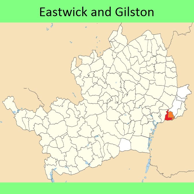
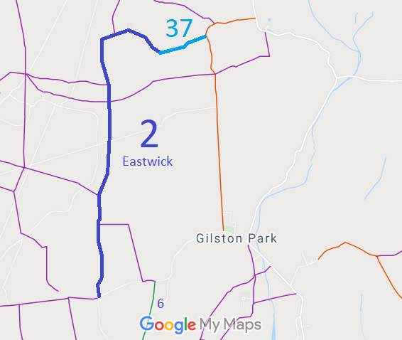
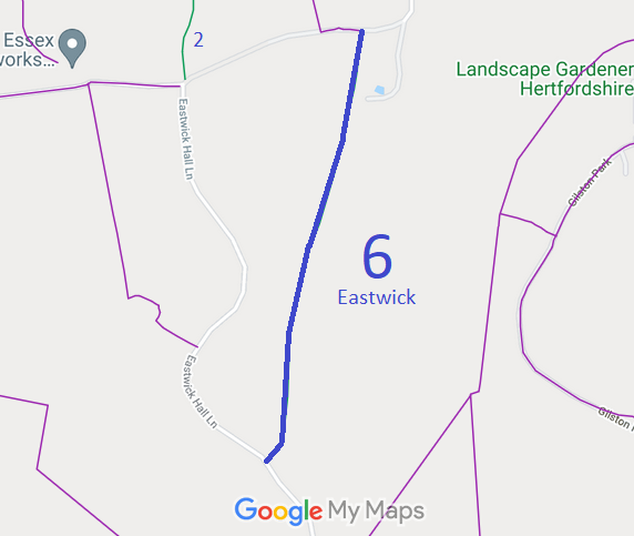
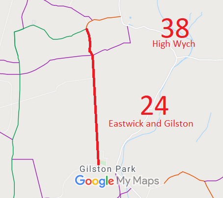
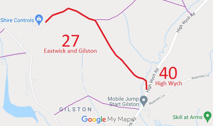
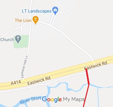
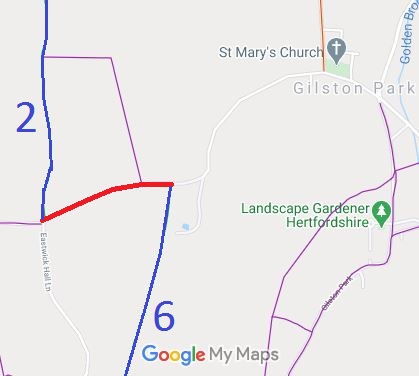
Annotated maps reproduced courtesy of Googlemaps.


 Local Government: Formerly within Ware Rural District. From 1974, part of East Hertfordshire District.
Tithe (1839) (Eastwick) DSA4/36/2. Tithe (1839) (Gilston) DSA4/42/2.

