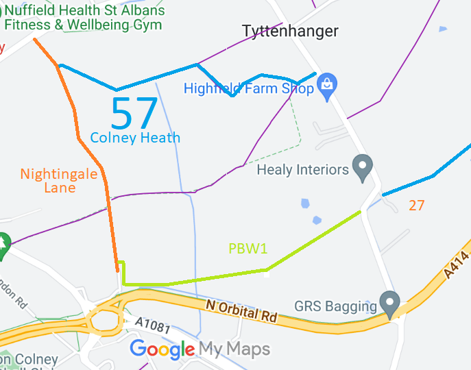
Annotated map reproduced courtesy of Googlemaps.
At the time of the BHS 2022 Access Survey (16 Aug 22), there were horse stiles at each end of the path and it was signposted at each end.
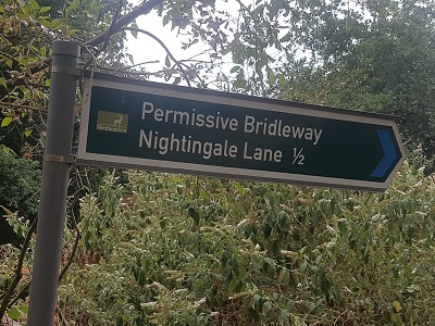
Sign at Highfield Lane end
Photo: Phil Wadey, 16 Aug 2022
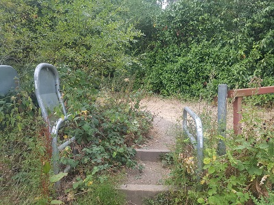
Horse Stile at Highfield Lane end
Photo: Phil Wadey, 16 Aug 2022
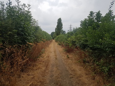
Western part runs between hedges
Photo: Phil Wadey, 16 Aug 2022
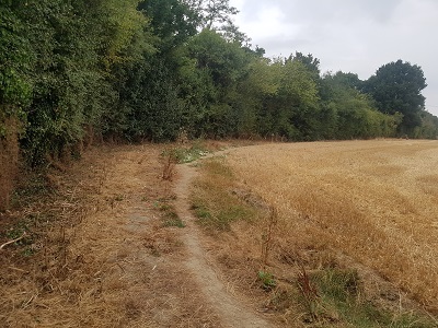
Eastern part is headland
Photo: Phil Wadey, 16 Aug 2022
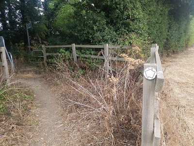
Horse stile at Nightingale Lane end
Photo: Phil Wadey, 16 Aug 2022
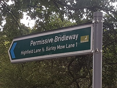
Sign at Nightingale Lane end
Photo: Phil Wadey, 16 Aug 2022

 The British Horse Society is very grateful to the Hertfordshire County Council Rural Estates Department for this permissive bridleway.
