Patchetts Green Bridleways Trust
 PG: OBJECTS: PROMOTION: Colney Heath 57 Footpath and Permissive Bridleway
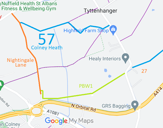
Map showing recorded Colney Heath paths
Annotated map reproduced courtesy of Googlemaps.
This route runs from Nightingale Lane (public road with no motor vehicles) generally eastwards to Highfield Lane.

At the time of the BHS 2022 Access Survey (16 Aug 22), no gates were across the path and it was signposted at each end.
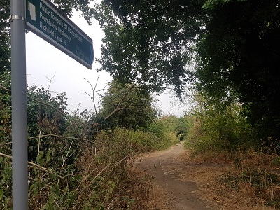
Photograph of Colney Heath 57 permissive bridleway
View from Nightingale Lane
Photo: Phil Wadey, 16 Aug 2022
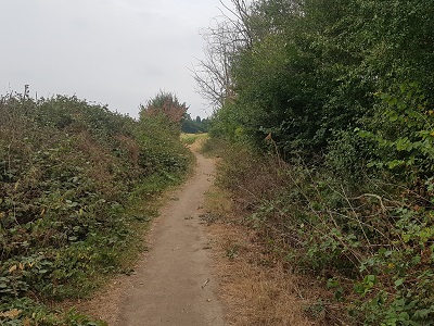
Photograph of Colney Heath 57 permissive bridleway
Continuing generally Eastwards
Photo: Phil Wadey, 16 Aug 2022
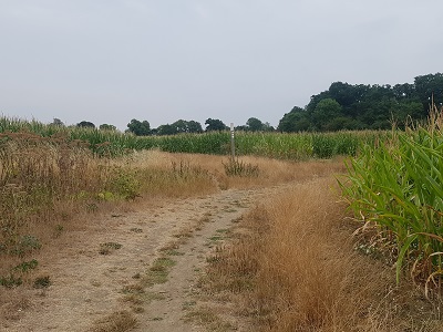
Photograph of Colney Heath 57 permissive bridleway
Bear right at junction with FP
Photo: Phil Wadey, 16 Aug 2022
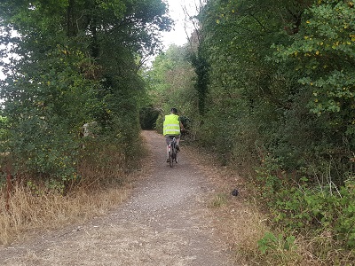
Photograph of Colney Heath 57 permissive bridleway
Bear left into tree-lined section
Photo: Phil Wadey, 16 Aug 2022
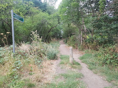
Photograph of Colney Heath 57 permissive bridleway
View west from Highfield Lane
Photo: Phil Wadey, 16 Aug 2022
HCC BHS The British Horse Society is very grateful to the Hertfordshire County Council Rural Estates Department for this permissive bridleway.

Legal History
Definitive Statement (4 Dec 2015)
Path: [Colney Heath] 57.  Status: Footpath.  Definitive Map sheet: 85
Commences from Nightingale Lane S of Nurses Quarters thence SE and NE to FP58 (formerly London Colney FP11) thence generally SE to join FP59 (formerly London Colney FP25) at Tyttenhanger Green.

© 2022 Patchetts Green Bridleways Trust.

Stats2
