
- Clothall 3 BW from Wallington Road to Clothall Road
- Clothall 5 and Rushden and Wallington 21 BW
- Clothall 12 BOAT
- Clothall 21 RB
- Clothall 27 and 28 BW
- Clothall 30 BW, from Clothall 12 BOAT to Clothall 21 RB, Luffenhall
- Clothall 6 and Weston 1, from Baldock to Clothall
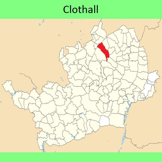
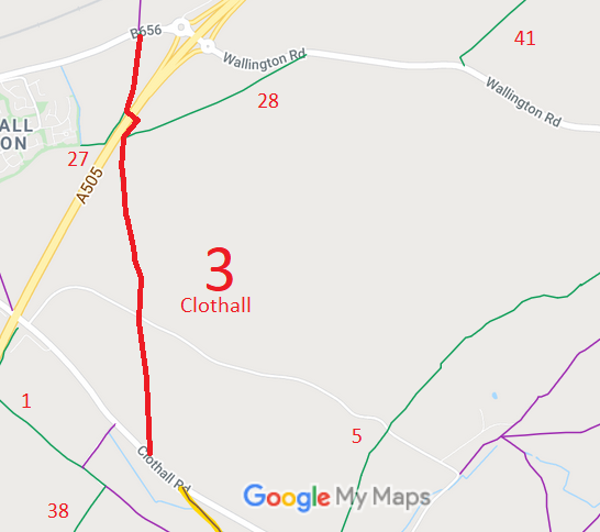
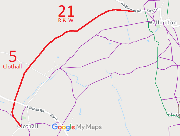
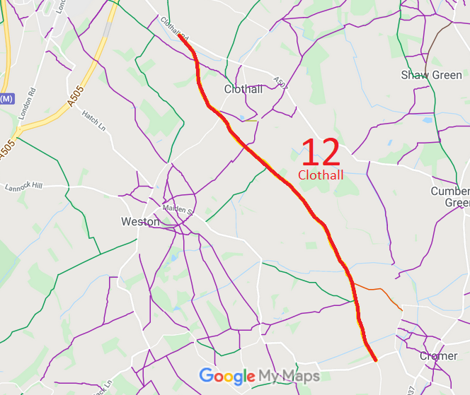
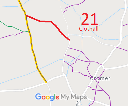
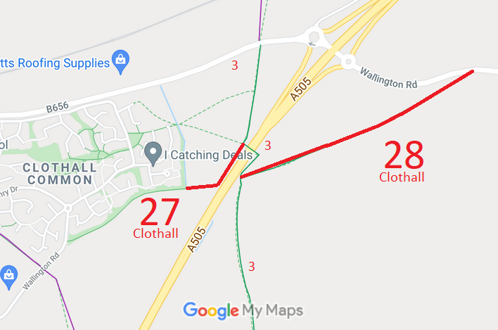
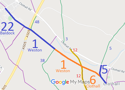
Annotated maps reproduced courtesy of Googlemaps.


 Local Government: Formerly within Hitchin Rural District. From 1974, part of North Hertfordshire District.
Tithe (1842) DSA4/31/2.
 There is an adopted Neighbourhood Development Plan (2021) for Baldock, Bygrave and Clothall, which counts as part of the Local Development Plan when planning applications are considered.