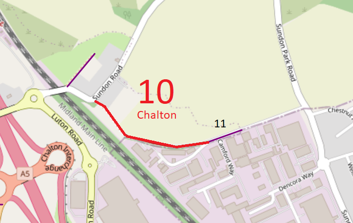
Map data from © OpenStreetMap and Central Bedfordshire Council.
The following description was written following the BHS 2023 Access Survey (8 Jan 23).
The route starts, properly signed as a byway (photo 1), as a defined track to a pinch point next to a vehicular barrier (photo 3). It then continues at the side of a wide green area before being narrowed physically by overgrowth (photos 5 and 6).As the path turns easterly there were bridleway signs, although they pointed in the same direction (photo 7). The route continued generally eastwards on the northern side of an industrial unit. A short distance from the end there are wooden bollards which allow passage of horses, walkers and cyclists. The route emerges onto Camford Way (Chalton 11) although the direct route was blocked by parked vehicles on the day of the survey.
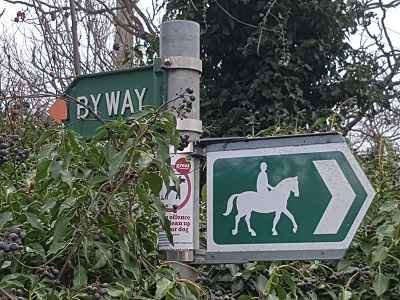
1. Sign at Sundon Road
Photo: Phil Wadey, 8 Jan 2023
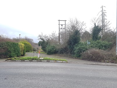
2. View from Sundon Road
Photo: Phil Wadey, 8 Jan 2023
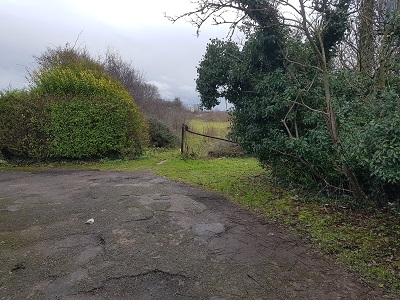
3. Pinch Point heading SE
Photo: Phil Wadey, 8 Jan 2023
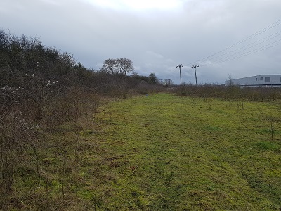
4. Continuing SE
Photo: Phil Wadey, 8 Jan 2023
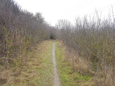
5. Continuing SE
Photo: Phil Wadey, 8 Jan 2023
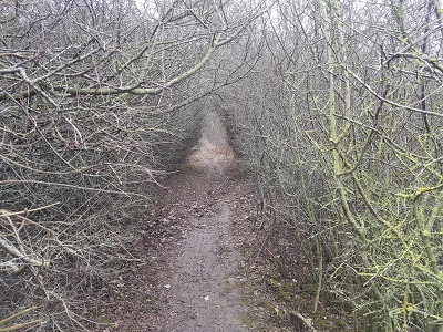
6. Overgrowth narrows path
Photo: Phil Wadey, 8 Jan 2023
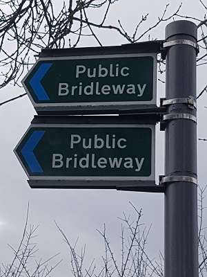
7. Signage as path turns eastwards
Photo: Phil Wadey, 8 Jan 2023
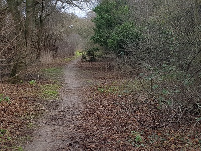
8. Continuing Eastwards
Photo: Phil Wadey, 8 Jan 2023
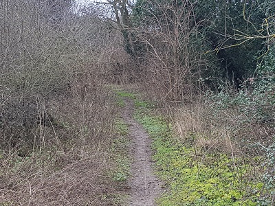
9. Continuing Eastwards
Photo: Phil Wadey, 8 Jan 2023
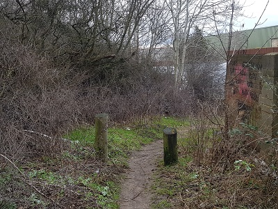
10. Continuing Eastwards
Photo: Phil Wadey, 8 Jan 2023
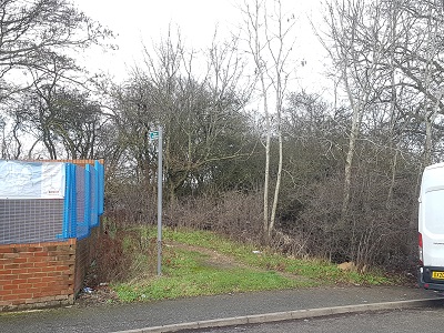
11. View from Camford Way
Photo: Phil Wadey, 8 Jan 2023
 If the Central Bedfordshire Council proposals for an M1 to A6 link road are implemented, this route is shown as crosing the link road by means of an underbridge.
