
| PG: OBJECTS: PROMOTION: Bushey 69 Stilegates |
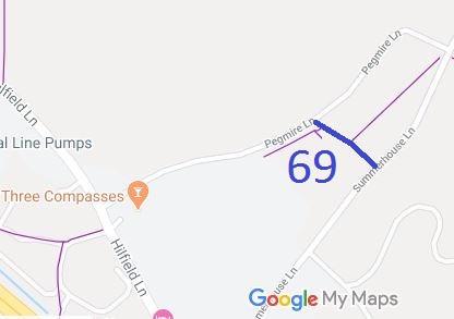 Annotated map reproduced courtesy of Googlemaps. |
This path runs from Summerhouse Lane to Pegmire Lane, approximately along the parish boundary.
It was dedicated by the landowner following an approach from the Trust's Secretary (in his capacity as local access officer for the British Horse Society).
Following any express dedication of a path by a landowner, it is necessary for the public to use the path before it can be recorded on the definitive map and statement. With BHS Hertsmere, we collected statements from some of the early people to use the bridleway, and used these statements to ask the County Council to record the bridleway. This was completed in July 2008. |
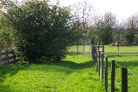
View from Summerhouse Lane end |
||
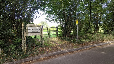 1. Start from Summerhouse Lane Photo: Michael Rackham, 23 Sep 2021 |
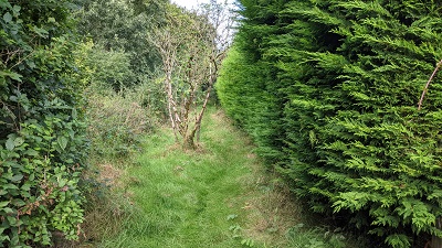 2. Heading northwestwards Photo: Michael Rackham, 23 Sep 2021 |
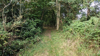 3. Approaching Pegmire Lane Photo: Michael Rackham, 23 Sep 2021 |
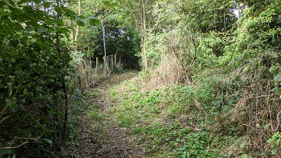 4. Bushey 8 heading SW Photo: Michael Rackham, 23 Sep 2021 |
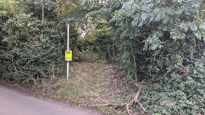 5. Bushey 8 from Pegmire Lane Photo: Michael Rackham, 23 Sep 2021 |


 A special acknowledgement is due to the
Bushey and District Footpaths Association for their work towards the creation of this bridleway. |
||||
| If the potential path from Pegmire Lane to Aldenham village is achieved, then this route will become part of the H25 London Orbital Bridleroute. | ||||
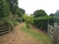
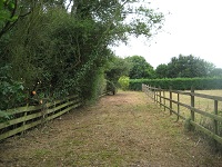 1. View from Summerhouse Lane Photo: Phil Wadey, 23 Jul 2010 |
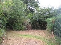
 2. Heading northwestwards Photo: Phil Wadey, 23 Jul 2010 |
 3. Approaching Pegmire Lane Photo: Phil Wadey, 23 Jul 2010 |
||
| Legal History 1 Feb 2001: Dedicated by landowner by deed of dedication. 26 Jun 2008: The Hertfordshire County Council (Bushey 69) Legal Event Modification Order 2008 added this path to the definitive map. Part was previously recorded as FP 69. 1 Apr 2023: The Hertsmere Borough Council (Reorganisation of Community Governance) Order 2022, made 29 Dec 2022 and coming into effect 1 Apr 2023, moved the Aldenham Parish Boundary to align with the M1 motorway, resulting in this way falling within Aldenham instead of Bushey. |
Definitive Statement (3 Mar 2008)
Path: [Bushey] 69. Status: Bridleway. Definitive Map sheet: 84 Commences from Summerhouse Lane at TQ 1434 9768 thence generally NW for approx 90m to a junction with Bushey FP8 at TQ 1427 9773 and continuing NW for approx 10m to end at Pegmire Lane at TQ 1426 9774. Width: 5m from TQ 1434 9768 to TQ 1426 9774. Limitations: Bollards or similar within 5m of TQ 1434 9768, at least 4m from Summerhouse Lane, leaving a usable width of not less than 1.52 metres (5ft). Bollards or similar within 5m of TQ 1426 9774, leaving a usable width of not less than 1.52 metres (5ft). |
© 2023 Patchetts Green Bridleways Trust. File reference: ED064.