Paths Greenways Bridleways Tracks
 PG: OBJECTS: PROMOTION: EAST HERTS: Wyddial
Please let us know if you ride a route that is not yet listed. Not all paths have numbers. Why not help with this year's Access and Riding Rights of Way survey?
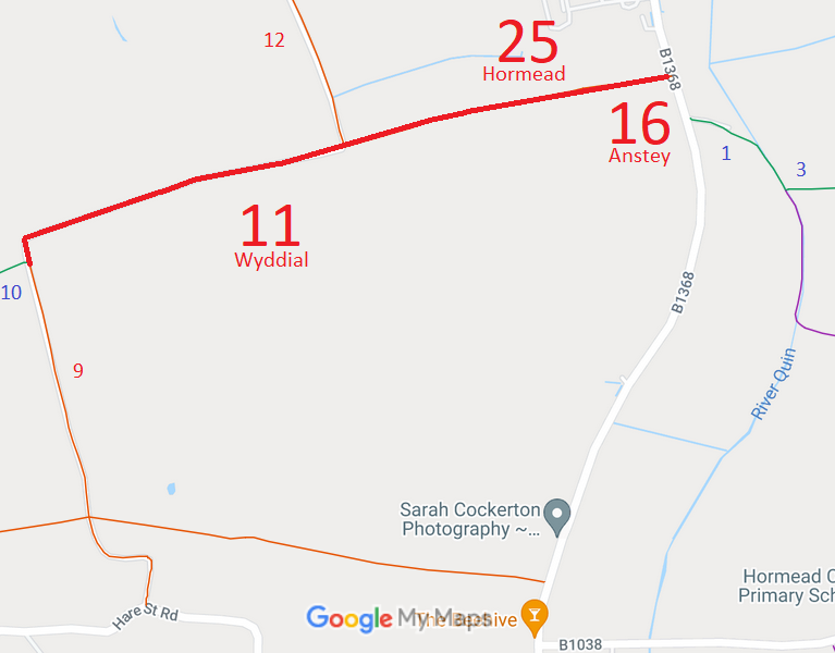
  • Wyddial 11, Hormead 25 and Anstey 16 RB, from London Road to Buntingford 9 RB
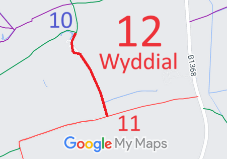
  • Wyddial 12 RB, from Wyddial 10 BW to Wyddial 11 restricted byway
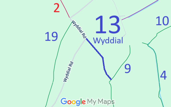
  • Wyddial 13 BW
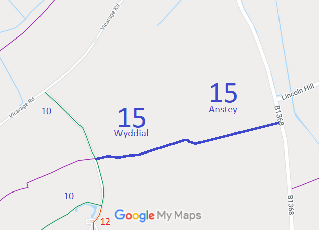
  • Wyddial 15 and Anstey 15, from London Road to Wyddial 10 BW
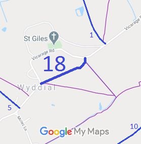
  • Wyddial 18 BW short cut from Wyddial Road to Wyddial Road
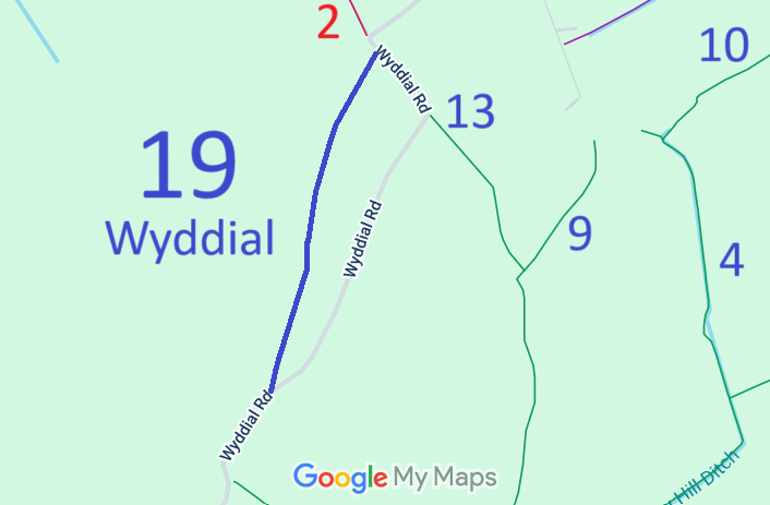
  • Wyddial 19 BW, from Wyddial Road to another point on Wyddial Road
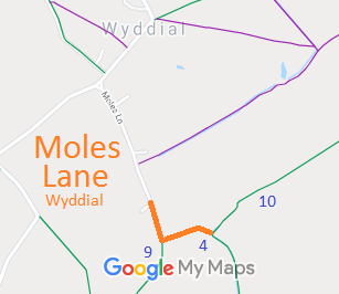
  • Wyddial Moles Lane, from metalled part to Buntingford 4 BW
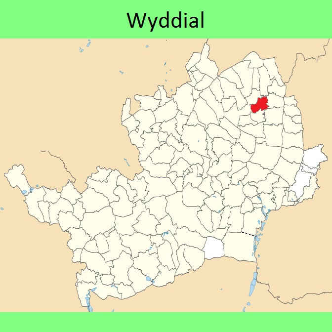
Wyddial
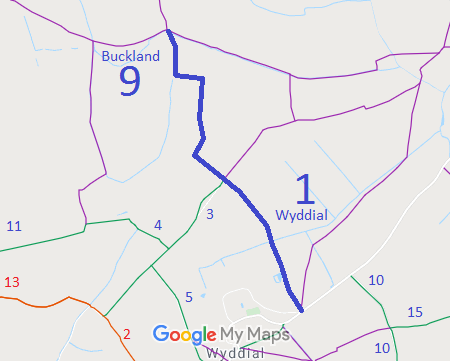
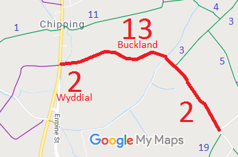
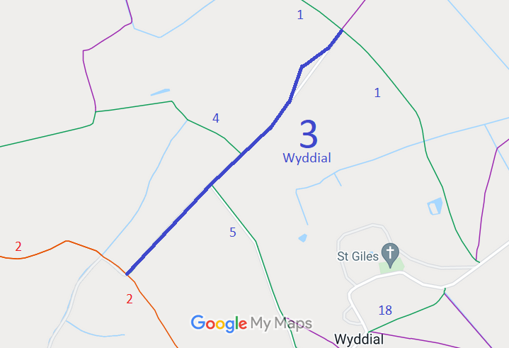
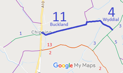
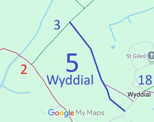
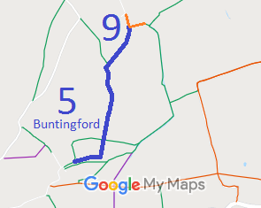
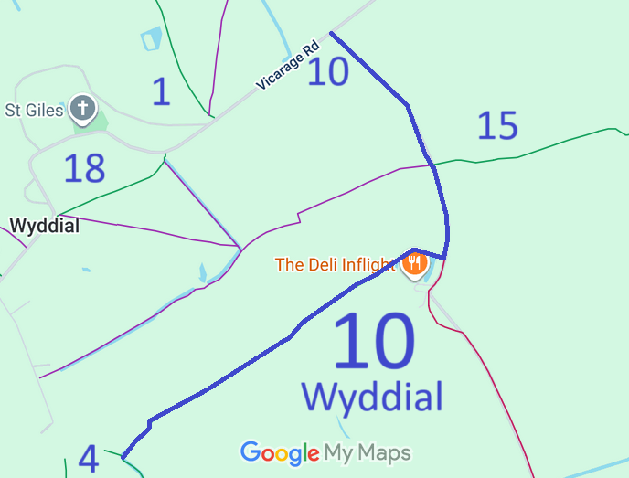
Map showing Buckland 9 and Wyddial 1 Map showing Buckland 13 and Wyddial 2 Map showing Wyddial 3 Map showing Buckland 11 and Wyddial 4 Map showing Wyddial 5 Map showing Wyddial 9 and Buntingford 5 Map showing Wyddial 10 Map showing Wyddial 11, Hormead 25 and Anstey 16 Map showing Wyddial 12 Map showing Wyddial 13 Map showing Wyddial 18 Map showing Wyddial 18 Map showing Wyddial 19 Map showing Wyddial Moles Lane
Annotated maps reproduced courtesy of Googlemaps.

BHS Initial DM1 Tithes 1910 Finance Act Valuation Map Local Government: Formerly within Braughing Rural District. From 1974, part of East Hertfordshire District.
Tithe (1840) DSA4/121/2.

© 2025 Patchetts Green Bridleways Trust. Parish boundary outline contains Ordnance Survey data © Crown copyright and database right / CC BY-SA

Stats2