
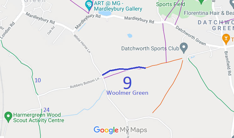
- Woolmer Green 9 BW from White Horse Lane to Datchworth 11 RB
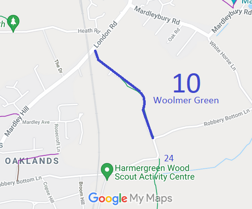
- Woolmer Green 10 BW from Mardley Hill to road at Hempstall spinney
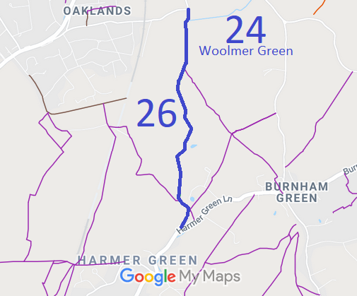
- Woolmer Green 24 and 26 BW from Hempstall Spring to Harmer Green Wood
Annotated maps reproduced courtesy of Googlemaps.


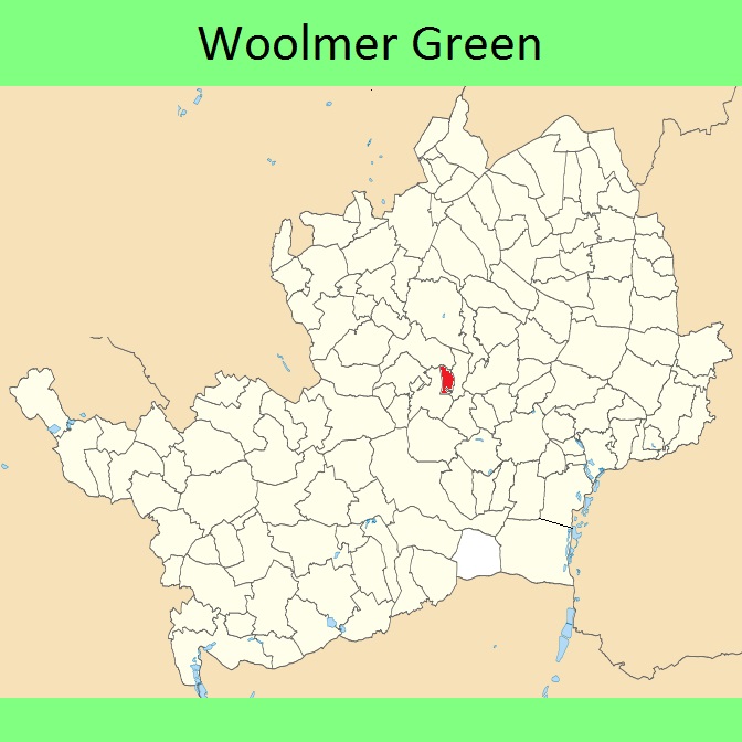
 Local Government: Formerly within Welwyn Rural District. From 1974, part of Welwyn Hatfield District.
In 2000, the area known as Woolmer Green separated from Welwyn and became its own civil parish.
Inclosure (1819) [Codicote, Welwyn (inc Woolmer Green) and Knebworth].
