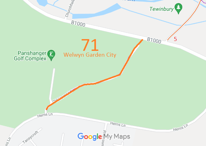
Annotated map reproduced courtesy of Googlemaps.
At the time of the BHS 2022 Access Survey (23 Dec 22),there were a pair of bollards at the northern end with sufficient space for horses to pass between them, and a gate near the southern end with a space to the side. A horse could pass, but it ought to be widened a little. There were 'public footpath' signs at each end, which match the definitive map status.
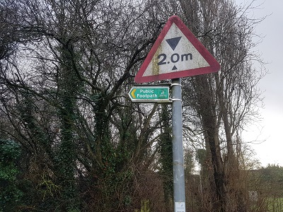 Sign at southern end
Photo: Phil Wadey, 23 Dec 2022
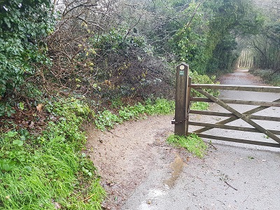 Gate near southern end, looking NE
Photo: Phil Wadey, 23 Dec 2022
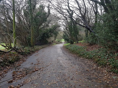 Continuing NE
Photo: Phil Wadey, 23 Dec 2022
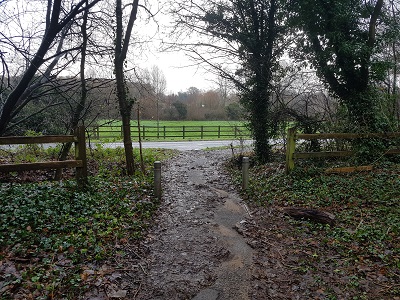 Bollards, approaching B1000
Photo: Phil Wadey, 23 Dec 2022
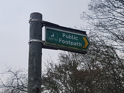 Sign at northern end
Photo: Phil Wadey, 23 Dec 2022
 As part of the British Horse Society's work to record paths before
Path Extinguishment Day,
it was spotted that this route was recorded as a footpath but the order stopping up the old road only stopped up vehicular rights. Accordingly it should be recorded as a bridleway and an application was made in 2015 to record this status.
