Paths Greenways Bridleways Tracks
 PG: OBJECTS: PROMOTION: Welwyn Garden City 57
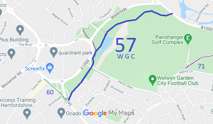
Map showing recorded Welwyn Garden City paths
Annotated map reproduced courtesy of Googlemaps.
This path starts from the B195 Black Fan Road (public road) opposite Welwyn Garden City 60 bridleway, and runs generally northeastwards, crossing Herns Way (public road) then continues generally northeastwards to end on the B1000 Hertford Road (public road).

We need a volunteer to photograph this route for this year's Access and Riding Rights of Way Survey. It's easy - just take photographs (safely) when you use the path. Find out more!

The part closest to Hertford Road was checked during the BHS 2022 Access Survey (9 Dec 22). There were no gates on this section, but there were bollards (which would allow horses to pass) at the junction with Hertford Road. There was a public bridleway sign at the Hertford Road junction.
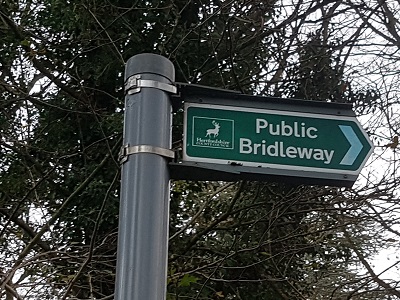
Photograph of Welwyn Garden City 57 bridleway Sign at Hertford Road end
Photo: Phil Wadey, 9 Dec 2022
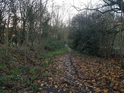
Photograph of Welwyn Garden City 57 bridleway Leaving Hertford Road
Photo: Phil Wadey, 9 Dec 2022
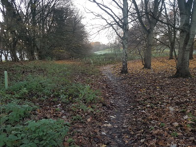
Photograph of Welwyn Garden City 57 bridleway Continuing Westwards into Park
Photo: Phil Wadey, 9 Dec 2022
Other photographs will be added when the survey is complete.

Legal History
14 Feb 1952: The Stopping up of Highways (Hertfordshire) (No. 1) Order 1952 affected this path. [TCPA1947] HCC reference DM2/019.
31 Dec 1977: The route was shown as a bridleway on the special review draft map and statement. DM sheet SR-58.
Definitive Statement (4 Dec 2015)
Path: [Welwyn Garden City] 57.  Status: Bridleway.  Definitive Map sheet: 58
Commences from county road (B1000) SW of Tewin Water Lodge thence SW generally parallel with Waterside Road, crossing Herns Way to junction with Black Fan Road.

© 2024 Patchetts Green Bridleways Trust.