| Paths Greenways Bridleways Tracks | ||
| PG: OBJECTS: PROMOTION: Welwyn 12 BOAT (Norman's Lane) and BW | ||
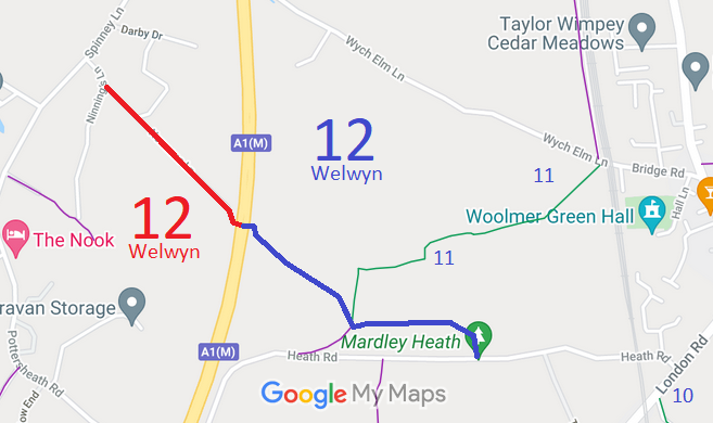
![]() Annotated map reproduced courtesy of Googlemaps. |
This route runs from Heath Road to a junction with Welwyn 11 bridleway, then to the A1(M) motorway subway. It changes to a byway to continue along Normans Lane to join Ninnings Lane.
At the time of the BHS 2023 Access Survey (18 Apr 23), there were three horse stiles across the path and no gates. There was inadequate signage at each end of the route, but there were waymark arrows along the length. There was a tunnel under the A1(M) Motorway. The first five phtographs are from Heath Road and Normans Lane heading southeastwards. The second set of five photographs are from Heath Road heading west or northwestwards. |
|||
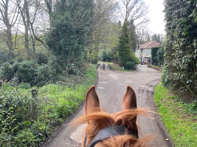
![]() From Ninnings Lane heading SE Photo: Ros Naylor, 18 Apr 2023 |
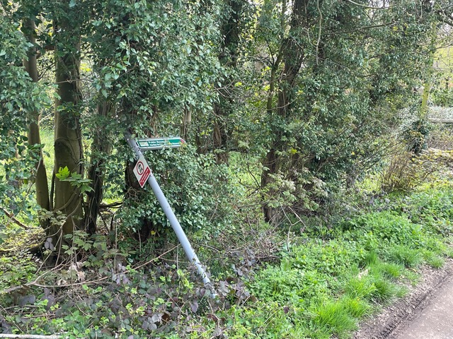
![]() Sign on Normans Lane Photo: Ros Naylor, 18 Apr 2023 |
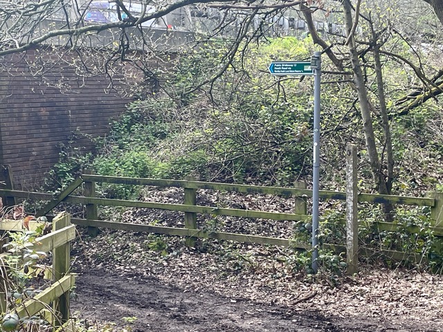
![]() Sign at change BOAT to BW Photo: Ros Naylor, 18 Apr 2023 |
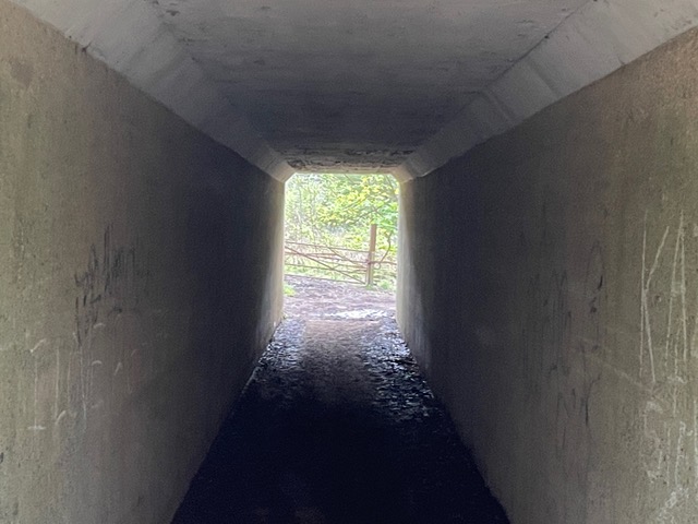
![]() Tunnel under Motorway Photo: Ros Naylor, 18 Apr 2023 |
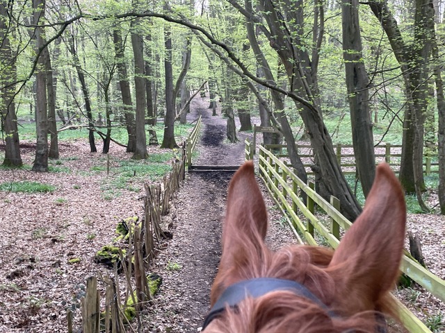
![]() Heading SE from tunnel Photo: Ros Naylor, 18 Apr 2023 |
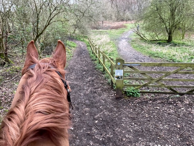
![]() Heading W from Heath Road Photo: Ros Naylor, 18 Apr 2023 |
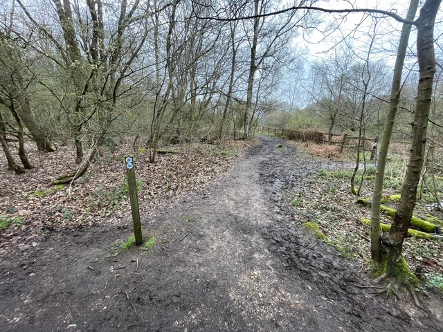
![]() Junction with Welwyn 11 Photo: Ros Naylor, 18 Apr 2023 |
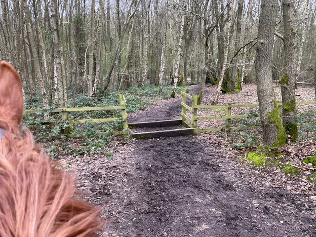
![]() Continuing NW Photo: Ros Naylor, 18 Apr 2023 |
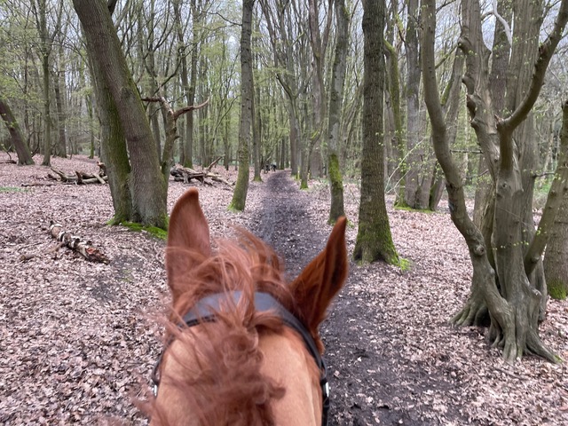
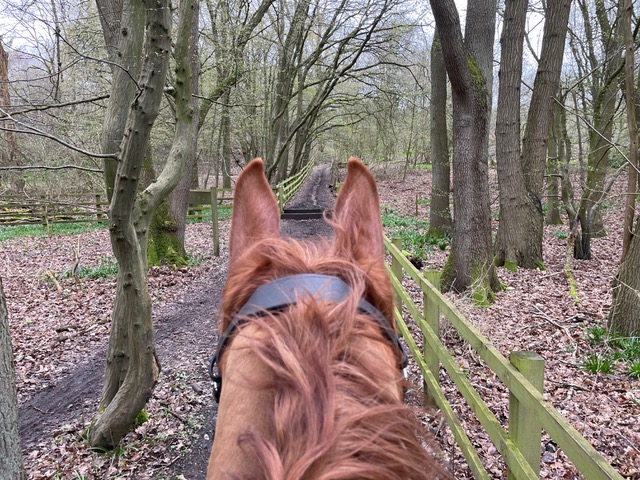
![]() Heading NW towards tunnel Photo: Ros Naylor, 18 Apr 2023 |
| Legal History 2 Feb 1953: Welwyn 12 was recorded as part bridleway and part CRB (Carriage Road used as a Bridleway) on the original definitive statement. DM sheet DM2-7 (Herts 20 SE). 17 Sep 1968: The Welwyn Rural District Council - Parish of Welwyn No.1 Public Path and Bridleway Diversion Order 1968 (confirmed 7 Feb 1969) diverted this route. HCC reference DM2/099. 31 Dec 1977: Welwyn 12 was shown as part bridleway and part byway on the special review draft map and statement. DM sheets SR-43 (TL21NW). |
Definitive Statement (4 Dec 2015)
Path: [Welwyn] 12. Status: Bridleway / Byway Open to All Traffic. Definitive Map sheet: 43 Commences at junction with Heath Road at Heath Field thence NW and W along southern edge of site for refuse disposal to junction with FP11 thence N and NW under A1 (M) through Ninnings Wood along Normans Lane to join Ninnings Lane S of Nursery. Statement should also refer to BW 11 junction |
© 2024-2026 Patchetts Green Bridleways Trust.