
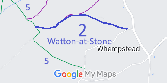
- Watton at Stone 2 BW
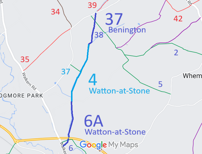
- Watton at Stone 4, 6a and Benington 37 BW, High Elms Lane to Watton Road
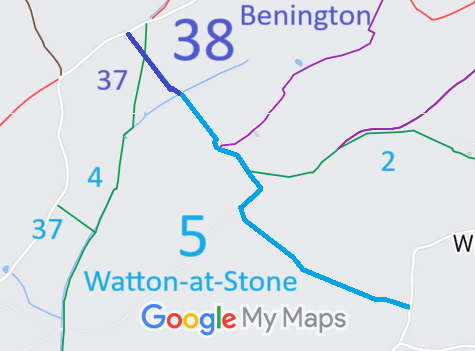
- Watton at Stone 5 and Benington 38 BW
- Watton at Stone 6 BW, from Walkern Road to Mill Lane and Walkern 38
- Watton at Stone 6a BW - see Watton at Stone 4
- Watton at Stone 14 BW
- Watton at Stone 15 and Aston 6 BW, from Datchworth 25 BOAT to Aston 33 RB
- Watton at Stone 16 BW, from Watton 39 RB to Watton bypass
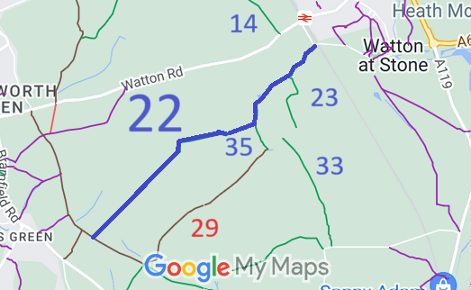
- Watton at Stone 22 BW
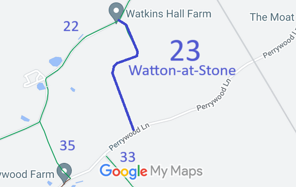
- Watton at Stone 23 BW
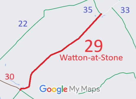
- Watton at Stone 29 BOAT
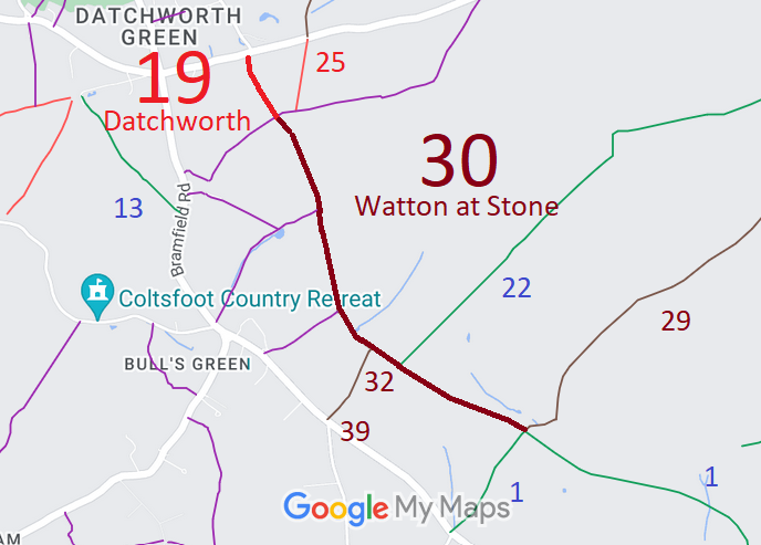
- Watton at Stone 30 and Datchworth 19 BOAT
- Watton at Stone 32 BOAT
- Watton at Stone 33 and Stapleford 13 BW
- Watton at Stone 34 and Stapleford 14 BW
- Watton at Stone 35 BW, from Watton 22 BW to Perrywood Lane
- Watton at Stone 37 BW, from High Elms Lane to Watton 4 BW
- Watton at Stone 38 BW, Mill Lane
- Watton at Stone 39 and Aston 33 RB
- Watton at Stone 26 (part) from Datchworth 25 RB to Datchworth 19 BOAT
- Watton at Stone 31 and Datchworth 20, from Bulls Green to Back Lane
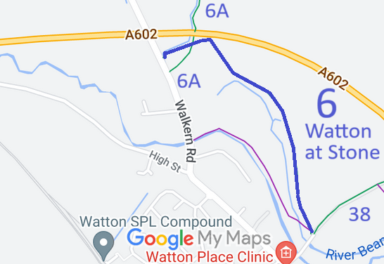
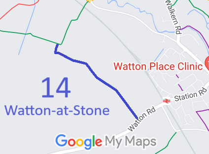
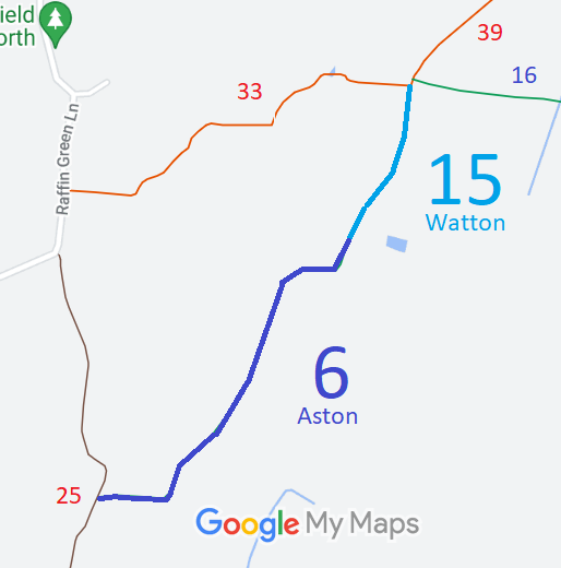
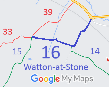
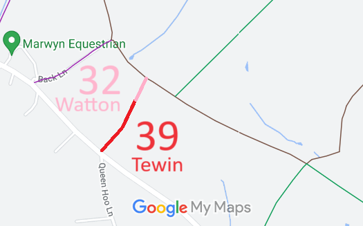
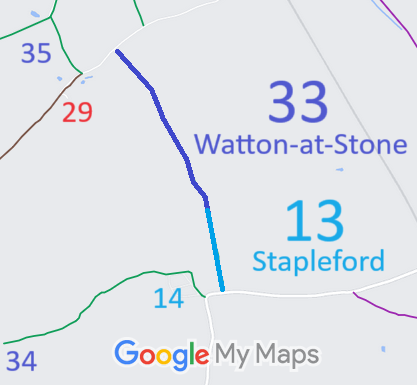
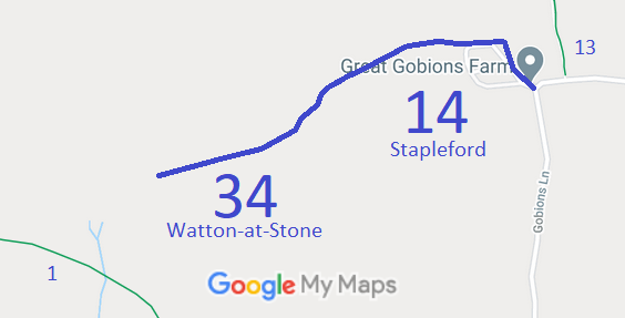
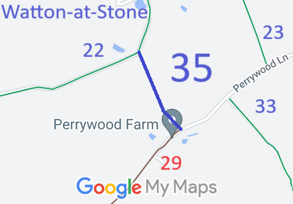
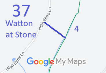
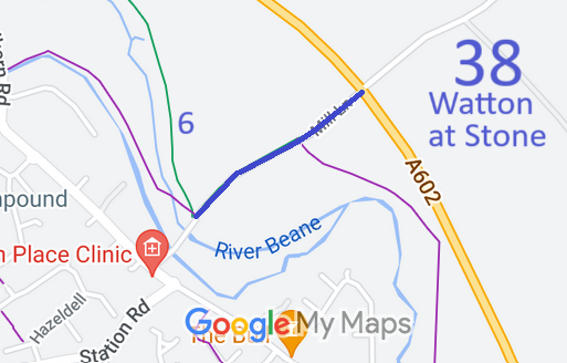
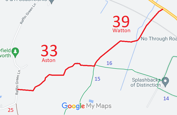
Annotated maps reproduced courtesy of Googlemaps.


 Local Government: Formerly within Hertford Rural District. From 1974, part of East Hertfordshire District.
Tithe (1839) DSA4/112/2.

