Paths Greenways Bridleways Tracks
 PG: OBJECTS: PROMOTION: HAMPSHIRE: Tangley 12 RB
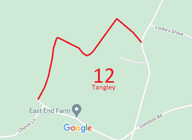
Map showing Tangley 12 in relation to the road network
Annotated map reproduced courtesy of Googlemaps.
This route starts on Clay Lane (public road) at SU 3466 5304 and continues north-eastwards, then south-eastwards to pass Whistler's Farm, then north-eastwards and finally south-eastwards to Andover Road at SU 3533 5342.

The photographs below from 2016 were taken before the order recording restricted byway status was confirmed.
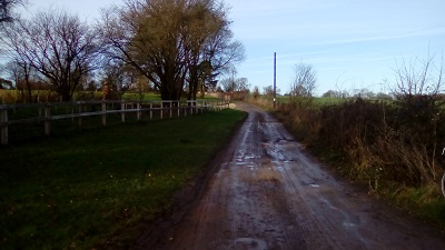
Photograph of Tangley 12
View along Tangley 12
Photo: Des Curran, 26 Dec 2016
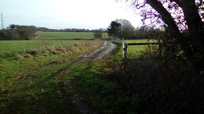
Photograph of Tangley 12
View along Tangley 12
Photo: Des Curran, 26 Dec 2016
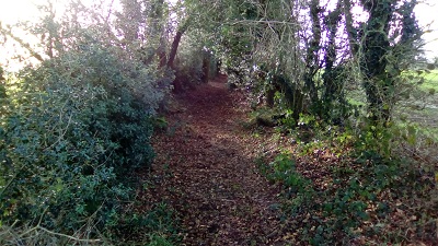
Photograph of Tangley 12
View along Tangley 12
Photo: Des Curran, 26 Dec 2016
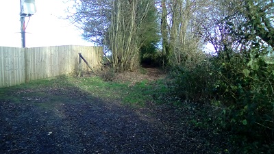
Photograph of Tangley 12
View along Tangley 12
Photo: Des Curran, 26 Dec 2016
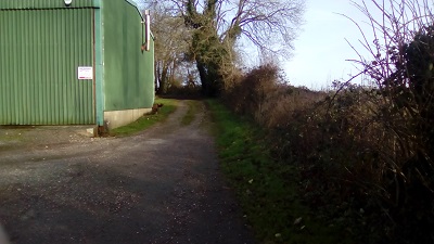
Photograph of Tangley 12
View along Tangley 12
Photo: Des Curran, 26 Dec 2016

BHS The British Horse Society's Project 2026 in association with Sport England and the British Equestrian Federation contributed towards the costs of making this application. The route was applied for as part of the work to record paths before Path Extinguishment Day. This is a good example of a 'perfectly obvious path' that could have been extinguished by the Countryside and Rights of Way Act 2000 if an application had not been made in time.

Legal History
3 Jan 2018: Application to upgrade Tangley 12 FP. Hampshire CC reference 1206.
28 Jun 2019: Secretary of State directed Hampshire County Council to determine the application by 28 Mar 2020. PINS reference FPS/Q1770/14D/4.
24 Oct 2019: Hampshire County Council refused the application.
23 Mar 2019: The Secretary of State upheld the appeal and directed the County Council to make the required order within 9 months. PINS reference FPS/Q1770/14A/4.
28 Aug 2020: The Hampshire (Test Valley Borough No.66) (Parish of Tangley Footpath no.12) Definitive Map Modification Order 2020 was made.
16 Aug 2022: The Order was confirmed by an Inspector on behalf of the Secretary of State. PINS reference ROW/3281354. The path is now recorded as a restricted byway.
28 Sep 22: Confirmed order advertised by Hampshire CC.
Definitive Statement (17 Mar 2020)
Path: [Tangley] 12.  Status: Restricted Byway.  SU 3466 5304 to SU 3533 5342.  Definitive Map sheet: 85
Commencing at a junction with Clay Copse Lane (Road T56), northwards along an enclosed, metalled track and continuing past Whistler's Farm buildings and to a junction with Andover Road (Road C33).
Width: A width varying between 2.43 and 6.09 metres wide, as shown by grey shading on the Order map.
Maintainability
This route is maintainable at the public expense because it was a highway before 1835.

© 2025 Patchetts Green Bridleways Trust. File reference: SH002.

Stats2