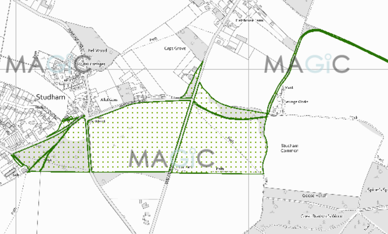
Annotated map reproduced courtesy of MAGIC.
This is a common which is subject to a Scheme of Regulation from 1911. As such it has rights of access on horseback, unless these have otherwise been restricted. The 1967 byelaws provide that no person shall at any time exercise any horse on the common to the damage or danger of any other person on the common.
The Studham Common Management Plan refers to people enjoying horse riding on the common.
We need a volunteer to photograph routes on the common for the 2022 Access and Riding Rights of Way Survey. It's easy - just take photographs (safely) when you use the paths. Find out more!
Common Land Number: CL18
Area: 108,907 sq m
Equestrian Rights: Scheme of Regulation
