Patchetts Green Bridleways Trust
 PG: OBJECTS: PROMOTION: St Stephen 4 and Abbots Langley 30 BW
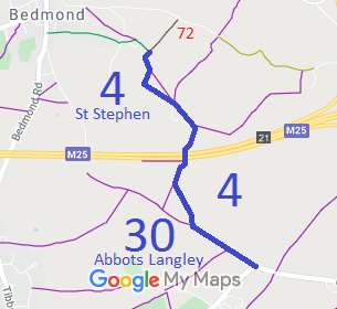
Map showing St Stephen 4 bridleway
Annotated map reproduced courtesy of Googlemaps.
This route runs from St Stephen 41 bridleway and St Stephen 72 byway, and heads generally southeastwards over the M25 motorway to Chequers Lane. The part closest to Chequers Lane is also recorded as Abbots Langley 30 bridleway as it runs along the parish boundary.

At the time of the 2021 Access Survey (15 Aug 21), there were two gates across the path (and a third with a gap to the side). It was signposted at each end. The two gates opened satisfactorily.
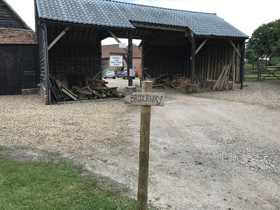
Photograph of St Stephen 4
Starting at the northern end
Photo: Helen Taylor, 20 Aug 2021
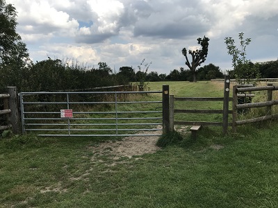
Photograph of St Stephen 4
Continuing southwards; Gate 1
Photo: Helen Taylor, 20 Aug 2021
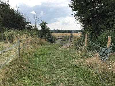
Photograph of St Stephen 4
Gate 2
Photo: Helen Taylor, 20 Aug 2021
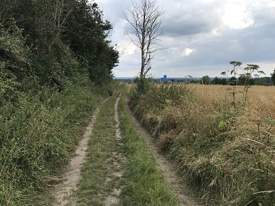
Photograph of St Stephen 4
Continuing southeastwards
Photo: Helen Taylor, 20 Aug 2021
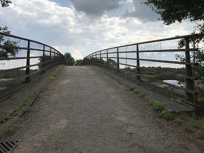
Photograph of St Stephen 4
Bridge over M25 motorway
Photo: Helen Taylor, 20 Aug 2021
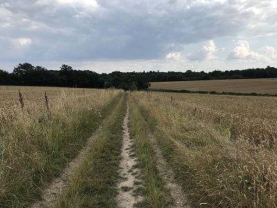
Photograph of St Stephen 4
Continuing southeastwards
Photo: Helen Taylor, 20 Aug 2021
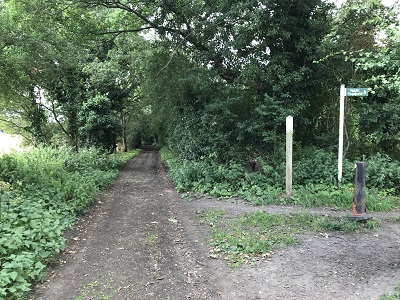
Photograph of St Stephen 4
Continuing southeastwards
Photo: Helen Taylor, 20 Aug 2021
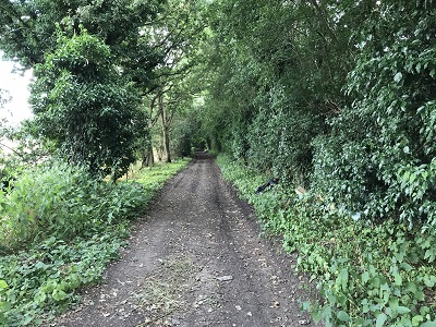
Photograph of St Stephen 4
Continuing southeastwards
Photo: Helen Taylor, 20 Aug 2021
Photograph of St Stephen 4
View NW from Chequers Lane
Photo: Helen Taylor, 20 Aug 2021
Photograph of St Stephen 4
Sign at Chequers Lane
Photo: Helen Taylor, 20 Aug 2021

Legal History
1938: St Stephen 4 is mostly shown as bridleway 4 (blue dots) on the Hertfordshire County Council ROW survey. Map St Albans Rural 15.
20 Jun 1953: St Stephen 4 was recorded as a bridleway on the original definitive map and statement. DM sheet DM3-30 (TL10SW).
31 Dec 1977: St Stephen 4 was shown as a bridleway on the special review draft map and statement. DM sheets SR-76. It was also recorded as Abbots Langley 30 where it ran along the parish boundary.
1983: The M25 Motorway (Micklefield Green to South Mimms Section) and Connecting Roads Side Roads Order 1983 sets out an improvement to part of St Stephen 4 BW. Schedule 6 refers. The diverted section is coincident with private vehicular means of access.
Definitive Statement (4 Dec 2015)
Path: [St Stephen] 4.  Status: Bridleway.  Definitive Map sheet: 76
Commences from the junction of BR41 and BOAT 72 at TL 1046 0346 south of Ninnings Farm thence S along Parish boundary thence SE across FP38 and passing to N of Tenements Farm to a point just E of Farm thence S to Grid Ref: TL1067 0296 and thence generally southwards across the M25 Motorway to Grid Ref: TL1063 0285 thence S and SE to Parish boundary thence SE along boundary to junction with Chequers Lane and Woodside Road.

Path: [Abbots Langley] 30.  Status: Bridleway/Footpath.  Definitive Map sheet: 76
Commences at parish boundary at junction of Woodside Road and Chequers Lane thence NW along boundary to Stowes Wood thence along southern boundary of same to join East Lane.

Maintainability
This route is maintainable at the public expense because it was a footpath or bridleway existing before 30 Apr 1959.

© 2024 Patchetts Green Bridleways Trust.

Stats2