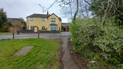
image of St Stephen 12 bridleway taken in 2025 showing path with trees to one side
 PG: OBJECTS: PROMOTION: ST ALBANS: St Stephen 12 BW
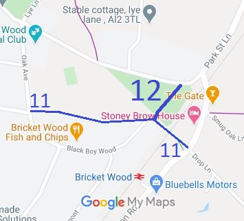
Map showing recorded St Stephen paths
Annotated map reproduced courtesy of Googlemaps.
The route runs from bridleway St Stephen 11 generally north-eastwards to Lye Lane (public road).

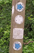
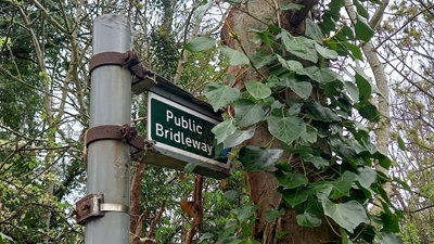
At the time of the 2025 Access Survey (13 Apr 25), the path was unobstructed save for a barrier at Lye Lane (which can be deviated around). It was signposted at Lye Lane and waymarked at the junction with St Stephen 11 bridleway.

Photograph of St Stephen 12 bridleway
Waymarks at St Stephen 11 junction
Photo: Phil Wadey, 13 Apr 2025
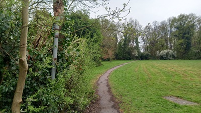
Photograph of St Stephen 12 bridleway
View from St Stephen 11
Photo: Phil Wadey, 13 Apr 2025
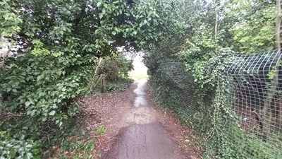
Photograph of St Stephen 12 bridleway
Continuing North-Eastwards
Photo: Phil Wadey, 13 Apr 2025
Photograph of St Stephen 12 bridleway
Continuing North-Eastwards
Photo: Phil Wadey, 13 Apr 2025
Photograph of St Stephen 12 bridleway
Sign at Lye Lane
Photo: Phil Wadey, 13 Apr 2025
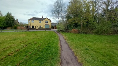
Photograph of St Stephen 12 bridleway
View from Lye Lane
Photo: Phil Wadey, 13 Apr 2025

Legal History
1938: The route is not shown on the Hertfordshire County Council ROW survey. Map St Albans Rural 16 (Herts 39 NE).
20 Jun 1953: St Stephen 12 was recorded as a bridleway on the original definitive map and statement. DM sheet DM3-30 (TL10SW, Herts 39 NE).
31 Dec 1977: St Stephen 12 was shown as a bridleway on the special review draft map and statement. DM sheet SR-76 (TL10SW).
Definitive Statement (4 Dec 2015)
Path: [St Stephen] 12.  Status: Bridleway.  Definitive Map sheet: 76
Commences at junction with BR 11 N of Bricket Wood Station thence NE along NW boundary of Railway to junction with county road (Lye Lane).
Maintainability
This route is maintainable at the public expense because it was a footpath or bridleway existing before 30 Apr 1959.

© 2025 Patchetts Green Bridleways Trust.

Stats2