
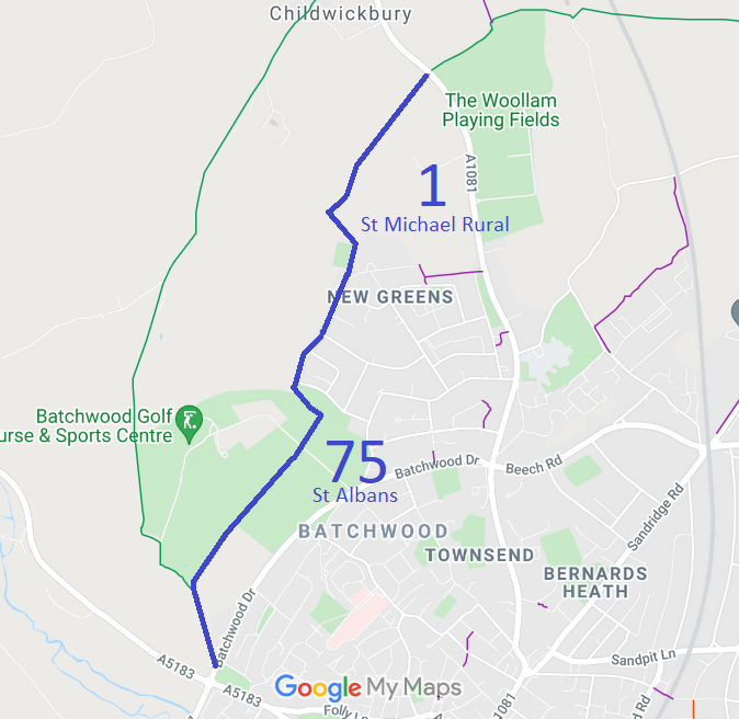
- St Michael Rural 1 and St Albans City 75 BW
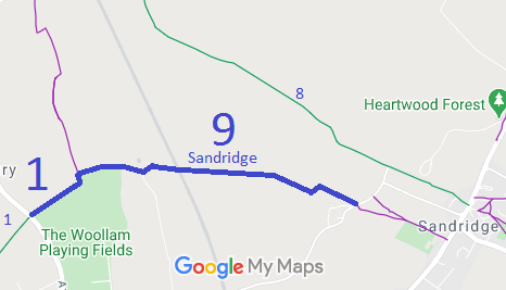
- St Michael Rural 1A and Sandridge 9 BW
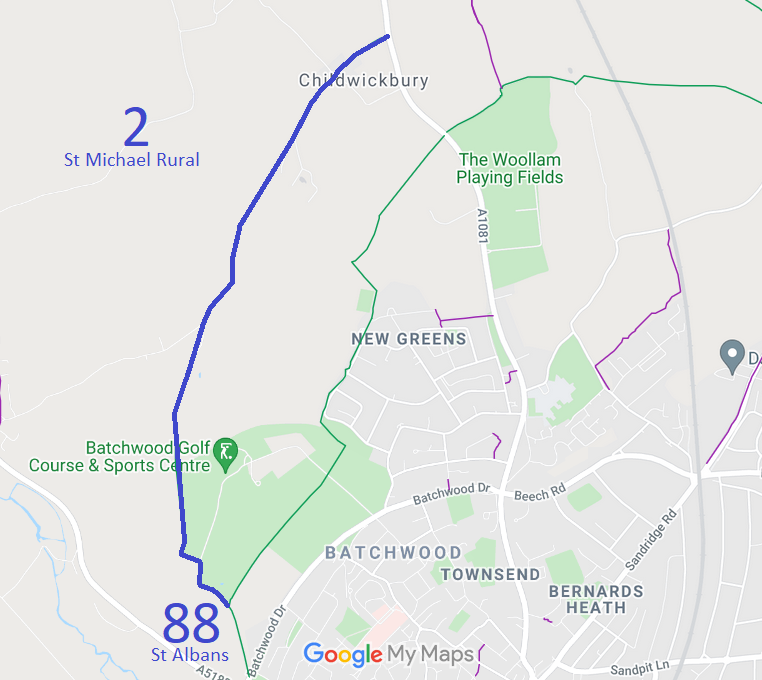
- St Michael Rural 2 and St Albans City 88 BW, from St Albans City 75 BR to Childwickbury.
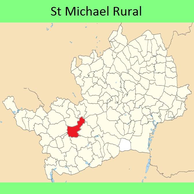
- St Michael Rural 6 from A5183 to parish boundary (application submitted)
Annotated maps reproduced courtesy of Googlemaps.


 Local Government: Formerly within St Albans Rural District.
From 1974, part of St Albans City and District.
Tithe (St Albans St Michael) (1840) DSA4/87/2.

