Paths Greenways Bridleways Tracks
 PG: OBJECTS: PROMOTION: Stevenage U3
We're collecting user evidence for the council now: Download user evidence form - Read the Instructions - By end August 2024 please
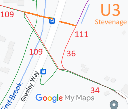
Map showing recorded Stevenage and Aston paths
Annotated map reproduced courtesy of Googlemaps.
This route starts from Dene Lane (Stevenage 109 restricted byway) and continues general eastsoutheastwards over a brook on a short flat bridge to Gresley Way. It then continues on the eastern side of the road to join Stevenage 111 restricted byway.

At the time of the 2024 Access Survey (30 Jun 24), the route was unobstructed. There was no signage. A level bridge was present to allow the brook to be crossed.
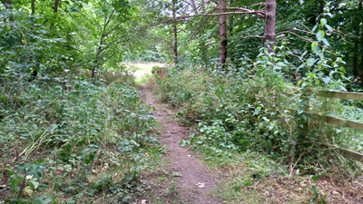
Photograph of Stevenage path
View from Stevenage 111 RB
Photo: Phil Wadey, 30 Jun 2024
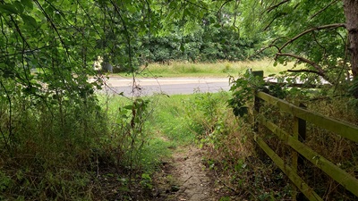
Photograph of Stevenage path
Approaching Gresley Way
Photo: Phil Wadey, 30 Jun 2024
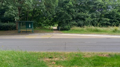
Photograph of Stevenage path
Gresley Way Crossing
Photo: Phil Wadey, 30 Jun 2024
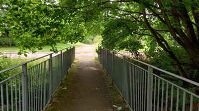
Photograph of Stevenage path
Bridge over Brook
Photo: Phil Wadey, 30 Jun 2024
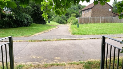
Photograph of Stevenage path
Towards Stevenage 109 RB
Photo: Phil Wadey, 30 Jun 2024

Legal History
3 Jul 2024: Land ownership check: INSPIRE 52896261 title HD162153. Stevenage Borough Council.

© 2024 Patchetts Green Bridleways Trust. File reference: EC713.

Stats2