Paths Greenways Bridleways Tracks
 PG: OBJECTS: PROMOTION: Sawbridgeworth 18
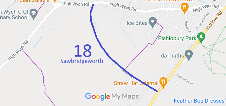
Map showing recorded Sawbridgeworth paths
Annotated map reproduced courtesy of Googlemaps.
This route starts on High Wych Road and hends south then south-east to London Road.

At the time of the BHS 2021 Access Survey (8 Aug 21), no gates were across the path and it was sgnposted at each end.
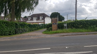
Sawbridgeworth 18 View from High Wych Road
Photo: Phil Wadey, 8 Aug 2021
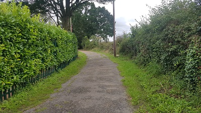
Sawbridgeworth 18 Initially a well defined shared track
Photo: Phil Wadey, 8 Aug 2021
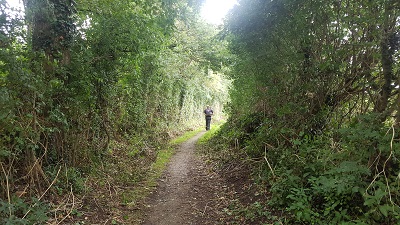
Sawbridgeworth 18 Path narrows slightly
Photo: Phil Wadey, 8 Aug 2021
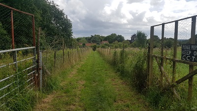
Sawbridgeworth 18 Path fenced across fields
Photo: Phil Wadey, 8 Aug 2021
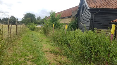
Sawbridgeworth 18 Path runs alongside farm buildings
Photo: Phil Wadey, 8 Aug 2021
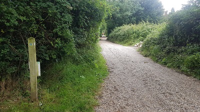
Sawbridgeworth 18 Path turns onto gravel track
Photo: Phil Wadey, 8 Aug 2021
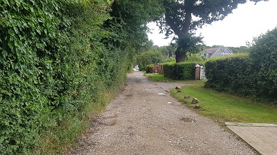
Sawbridgeworth 18 Hardened surface
Photo: Phil Wadey, 8 Aug 2021
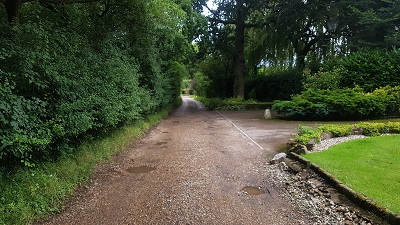
Sawbridgeworth 18 Shared track
Photo: Phil Wadey, 8 Aug 2021
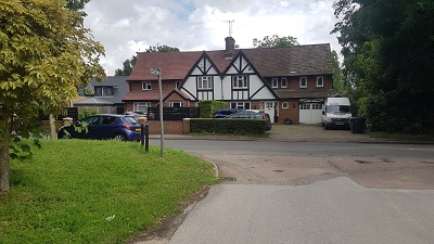
Sawbridgeworth 18 Approaching London Road
Photo: Phil Wadey, 8 Aug 2021
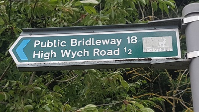
Sawbridgeworth 18 Sign at London Road
Photo: Phil Wadey, 8 Aug 2021

Legal History
2 Feb 1953: Sawbridgeworth 18 was recorded as a bridleway on the original definitive map and statement. DM sheet DM1-28.
31 Dec 1977: Sawbridgeworth 18 was shown as a bridleway on the special review draft map and statement. DM sheet SR-62.
Definitive Statement (4 Dec 2015)
Path: [Sawbridgeworth] 18.  Status: Bridleway.  Definitive Map sheet: 62
Starts from London Road, south of Rowney Gardens, tarmac road 16 feet wide to entrance to Army Depot. A.A.O.D. changes to cart-track 12 feet wide through field gate at entrance to farm, turns right at second field-gate into field, runs parallel to hedge, foot-track 2 feet wide, continues alongside Rowney Woods to hand-gate at entrance to woods, carries on along bridleway about 7 feet wide to High Wych Road at field gate adjacent to house 'Shournagh'.
Width: 16ft, 12ft, 2ft, 7ft

© 2023 Patchetts Green Bridleways Trust.