Paths Greenways Bridleways Tracks
 PG: OBJECTS: PROMOTION: Sawbridgeworth 11
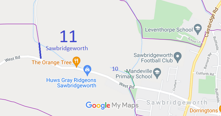
Map showing recorded Sawbridgeworth paths
Annotated map reproduced courtesy of Googlemaps.
This bridleway runs northwards from West Lane, Sawbridgeworth, to the parish boundary.

At the time of the BHS 2021 Access Survey (8 Aug 21), the road-side gates opened easily provided the gate stopper is up and the vegetation is cut back. The bridlegate and second field gate opened easily. There was a public bridleway sign at the junction with the metalled road.
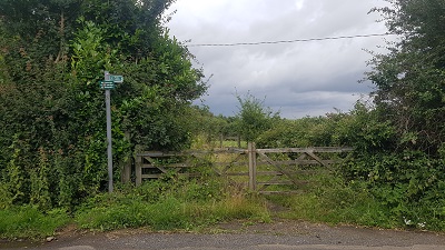
Sawbridgeworth 11 View from West Road
Photo: Phil Wadey, 8 Aug 2021
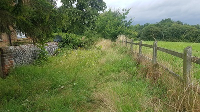
Sawbridgeworth 11 Well defined route next to garden wall
Photo: Phil Wadey, 8 Aug 2021
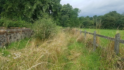
Sawbridgeworth 11 Continuing northwards
Photo: Phil Wadey, 8 Aug 2021
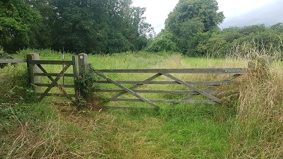
Sawbridgeworth 11 Fieldgate and bridlegate to field
Photo: Phil Wadey, 8 Aug 2021
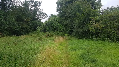
Sawbridgeworth 11 View over field to parish boundary
Photo: Phil Wadey, 8 Aug 2021

Legal History
2 Feb 1953: Sawbridgeworth 11 was recorded as a bridleway on the original definitive map and statement. DM sheet DM1-26.
31 Dec 1977: Sawbridgeworth 11 was shown as a bridleway on the special review draft map and statement. DM sheet SR-48.
Definitive Statement (4 Dec 2015)
Path: [Sawbridgeworth] 11.  Status: Bridleway.  Definitive Map sheet: 48
Starts from West Road at Tharbies Cottages through a field gate about 10 feet wide and travels in a northerly direction across a field, over a wide piped ditch and through a gap in the hedge to the High Wych parish boundary.
Width: 10 ft

© 2023 Patchetts Green Bridleways Trust.