
- Rushden and Wallington 9 BW/FP, from Cottered 6 to Cottered 35
- Rushden and Wallington 14 and Sandon 49 BW
- Rushden and Wallington 21 and Clothall 5 BW
- Rushden and Wallington 24 BW
- Rushden and Wallington 32 BW, from Cat Ditch Road to Wallington village
- Rushden and Wallington 33 BW, from Cat Ditch Road to Wallington village
- Rushden and Wallington 37 BOAT
- Rushden and Wallington 41 BW
- Rushden and Wallington 42 BW Shaw Green Lane
- Rushden and Wallington 47 BW
- Rushden and Wallington 48 and Bygrave 16 BW - A505 underpass
- Sandon and Rushden and Wallington Permissive BW 1, from Roe Green to Rushden Road.
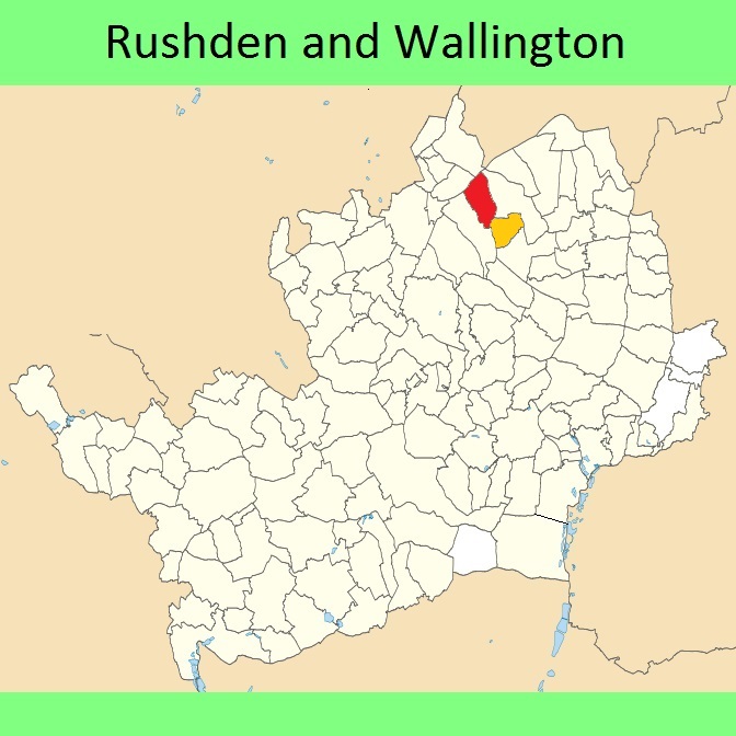
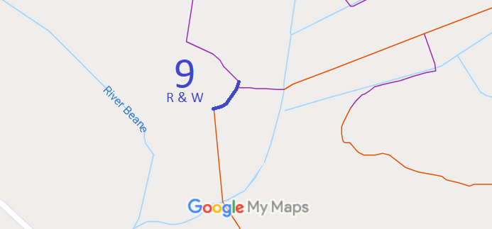

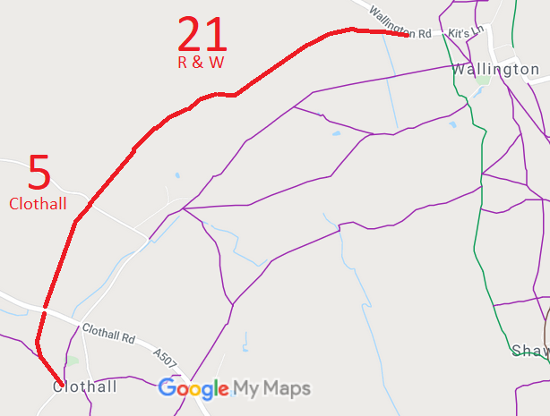
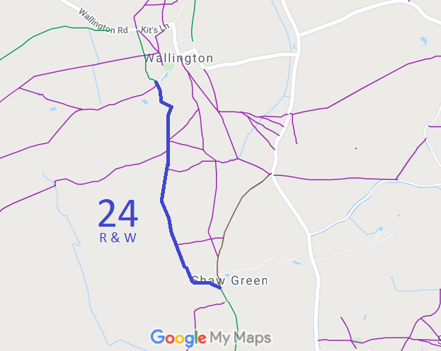
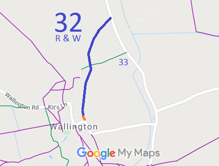
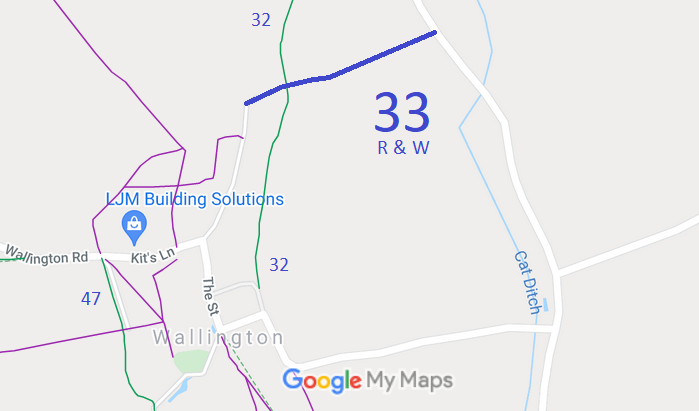
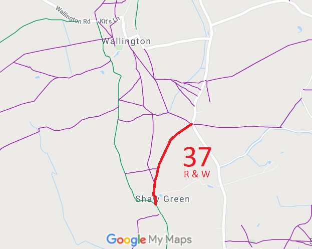
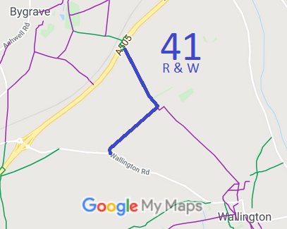
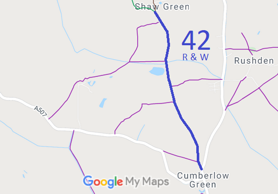
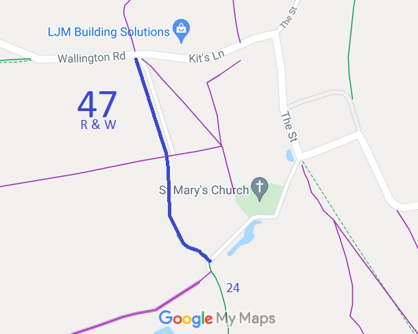
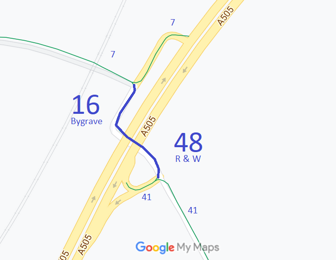
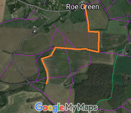
Annotated maps reproduced courtesy of Googlemaps.


 Local Government: Formerly two parishes, both of which were within Hitchin Rural District.
From 1974, part of North Hertfordshire district.
Tithe (Rushden) (1846) DSA4/83/2. Tithe (Wallington) (1839) DSA4/109/2.
 The Rushden and Wallington Parish Council is in the process of creating a Neighbourhood Development Plan for Wallington, which will count as part of the Local Development Plan when planning applications are considered.
The Draft Plan includes:
Policy W4(B)(ix) and (x)
As appropriate to their scale, nature and location development proposals should address the following criteria:As the consultation is still open, we are asking for the following additions:
(ix) ensure safe pedestrian, and where feasible cycle/equestrian, access to link up with the existing Public Rights of Way network; and
(x) ensure that traffic generation and parking does not adversely affect vehicular and pedestrian safety. The use of sustainable transport modes should be promoted by providing space for cycle parking, improving Public Rights of Way infrastructure and provision of electric vehicle charging points. Residential parking provision should be in accordance with the NHDC Parking standards, with priority given to adequate off-road parking for residents, visitors and service vehicles;
Add to W4(B): (xii) assistance with any relevant aspects of the Rights of Way Improvement Plan for the area.Add para: 7.16 It is recognised that the designation of sites as Local Green Space provides some protection against inappropriate development. Where specific green space is included as part of a development, designation as a Village Green would also provide rights of access to residents and so development proposals offering green space will be encouraged to voluntarily register such space as a village green (Commons Act 2006).
Add to Policy W9 at end: Registration of green space in developments as Village Green under the Commons Act 2006 will be encouraged.
 Rights of Way Improvement Plan suggestions:
Rushden and Wallington 25 footpath upgrade and Rushden and Wallington 26 footpath upgrade, to form part of the Stevenage to Cambridge bridleroute (upgrade needed)
Rushden and Wallington 32 link to public road, to ensure connected route exists (recording needed).

