| Paths Greenways Bridleways Tracks | ||
| PG: OBJECTS: PROMOTION: Royston 12 | ||
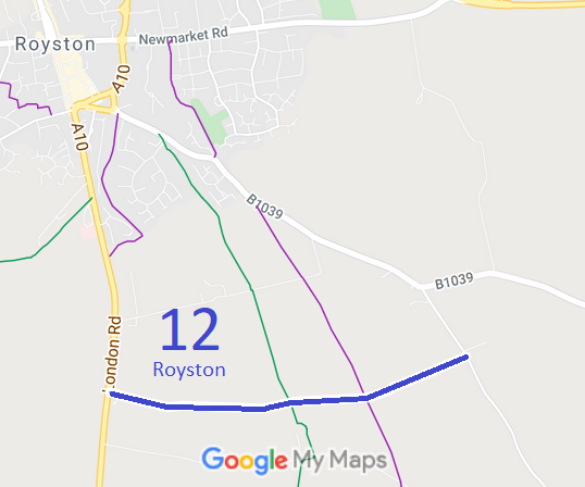
![]() Annotated map reproduced courtesy of Googlemaps. |
The route starts from London Road (public road) and continues gernerally eastwards to a junction with Royston 10 bridleway then generally eastwards to end on Barkway Road (public road).
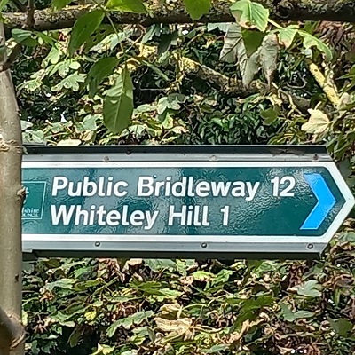
At the time of the BHS 2023 Access Survey (7 Oct 23), there were no obstructions across the path and it was signposted at each end. |
|||
![]() Sign at London Road Photo: Nicki Harris, 7 Oct 2023 |
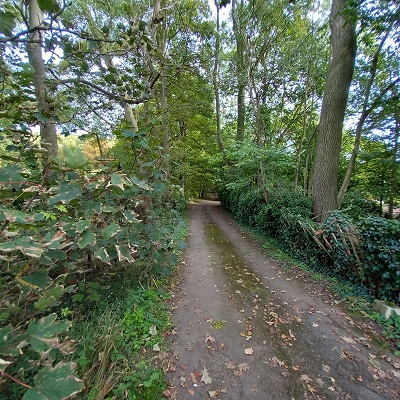
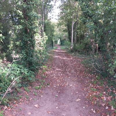
![]() Continuing Eastwards Photo: Nicki Harris, 7 Oct 2023 |
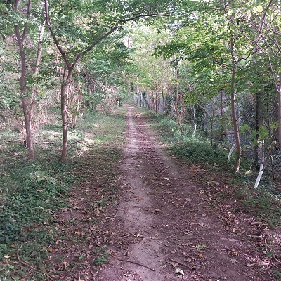
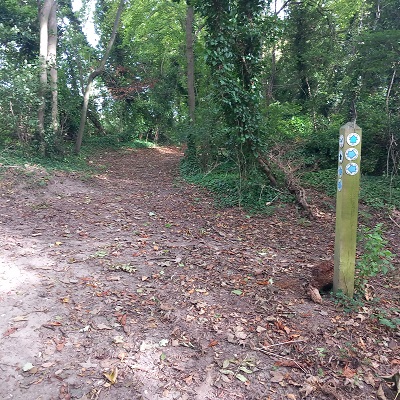
![]() Looking East, junction Royston 10 Photo: Nicki Harris, 7 Oct 2023 |
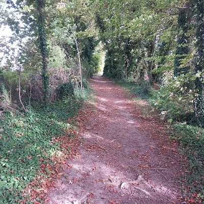
![]() Continuing Eastwards Photo: Nicki Harris, 7 Oct 2023 |
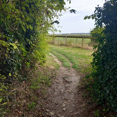
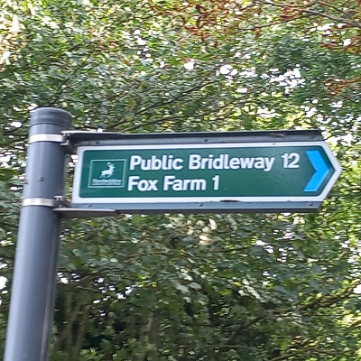
![]() Sign on Barkway Road Photo: Nicki Harris, 7 Oct 2023 |
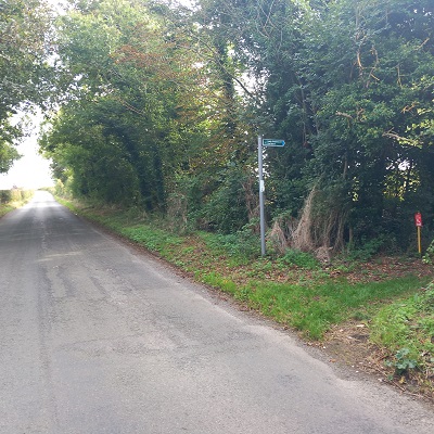
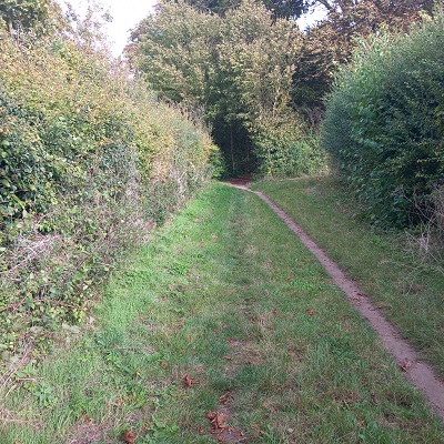
![]() View from Barkway Road Photo: Nicki Harris, 7 Oct 2023 |
| Legal History 1 Nov 1953: Royston 12 was recorded as a bridleway on the original definitive map and statement. DM sheet DM4-10 (Herts 5 SW). 31 Dec 1977: Royston 12 was shown as a bridleway on the special review draft map and statement. DM sheet SR-8 (TL33NE). |
Definitive Statement (4 Dec 2015)
Path: [Royston] 12. Status: Bridleway. Definitive Map sheet: 8 Commences from London Road N of Grange Lodge thence generally E along parish boundary and southern boundary of Seven Rides Plantation past BR10 thence NE along boundary to join Barkway Road approx. 390 yards SE of "Eagle" Tavern P.H. |
© 2022 Patchetts Green Bridleways Trust.