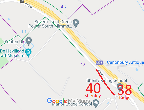
Annotated map reproduced courtesy of Googlemaps.
In 2010, the County Council's rights of way department improved the surface of this route and its extension, to make a route that would be usable all year round.
In 2011, the route to the north west was dedicated as a highway by the landowner and became Shenley 42 bridleway.
We need a volunteer to photograph this route for this year's Access and Riding Rights of Way Survey. It's easy - just take photographs (safely) when you use the path. Find out more!
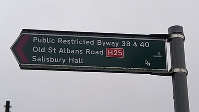
Sign at S end of Ridge 38/Shenley 40
Photo: Phil Wadey, 8 Aug 2024

 The route forms part of the historic St Albans Road which became the A6.
As the A6 became busier, a new A6 route was constructed to the east, and this route became a side road.
In 1965, the A6 was made a clearway by the Minister of Transport,
and it was decided that motor vehicles should not use the old route to join the A6 trunk road.
As the road fell into disuse by motor vehicles, its surface started to be covered by leaves and mud so that to a casual observer it was impossible to tell the difference between the roadway and the land either side. When the M25 was constructed, the builders forgot to leave an access for the non-motorised users to join the B556 (old A6).
The route was reopened by the Highways Partnership (Hertsmere Borough Council and Hertfordshire County Council) on 14 Jun 1997 after pressure from the BHS and PGRC local access officer, as it was needed for the H25 London Orbital Bridleroute. The reopening meant that half the length of the B556 could be removed from the H25, so improving safety and enjoyment of the H25 route.
In parallel, an application was made to record the route on the definitive map. The County Council agreed with the application and an order was made in 2016 and confirmed unopposed. This is a good example of 'perfectly obvious paths' that would be extinguished by the Countryside and Rights of Way Act 2000 if an application had not been made in time.
