Paths Greenways Bridleways Tracks
 PG: OBJECTS: PROMOTION: Ridge 19 - Metropolitan Common
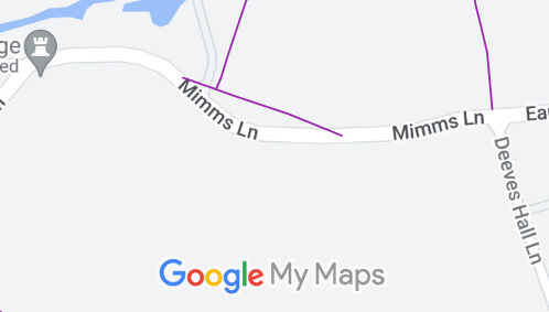
Map showing recorded Ridge paths
Annotated map reproduced courtesy of Googlemaps.
This route cuts off the corner between two lengths of Mimms Lane. It is a recorded footpath but is on a metropolitan common (CL25), which means there are rights to ride for air and exercise quite separately from any highway (footpath or bridleway) rights.

At the time of the BHS 2023 Access Survey (6 Jan 23), there was an adequate route across the common for equestrians. It appears that the footpath fingerpost at the western end of the common is in the wrong place.
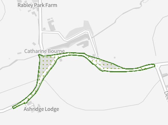
Commons boundary
Metropolitan Common CL25 coverage
Source: magic.gov.uk
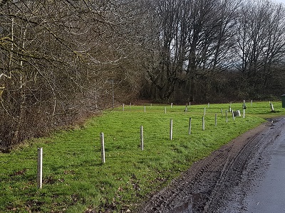
Photograph of Metropolitan Common Land CL25
West Corner looking southeastwards
Photo: Phil Wadey, 6 Jan 2023
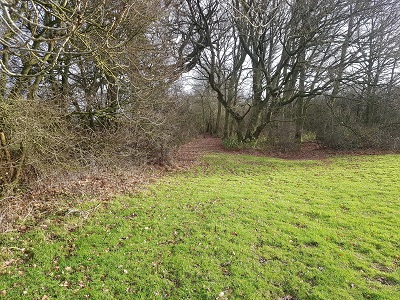
Photograph of Metropolitan Common Land CL25
Continuing southeastwards
Photo: Phil Wadey, 6 Jan 2023
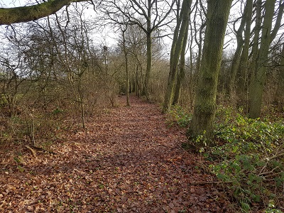
Photograph of Metropolitan Common Land CL25
Continuing southeastwards
Photo: Phil Wadey, 6 Jan 2023
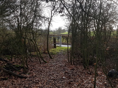
Photograph of Metropolitan Common Land CL25
Continuing southeastwards
Photo: Phil Wadey, 6 Jan 2023
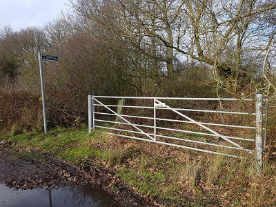
Photograph of Metropolitan Common Land CL25
FP exit (wrong place?)
Photo: Phil Wadey, 6 Jan 2023

Legal History

© 2023 Patchetts Green Bridleways Trust.

Stats2