Paths Greenways Bridleways Tracks
 PG: OBJECTS: PROMOTION: Preston 17 (UCR 2)
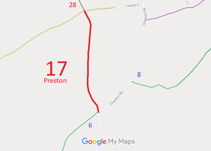
Map showing recorded Preston paths
Annotated map reproduced courtesy of Googlemaps.
This route runs from Hitchin 28 Byway generally southwards to Charlton Road (public road) and Preston 6 bridleway.

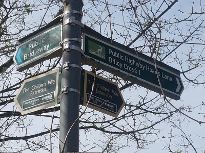
At the time of the BHS 2022 Access Survey (10 Apr 22), there were no gates across the path. It was signposted at the southern end and waymarked at the northern end. There was a pile of wood across the route at one point making passage by horse drawn vehicle impossible. Otherwise the path was pleasant and clearly of use by equestrians.
Photograph of Preston 17
Signage at southern end
Photo: Phil Wadey, 10 Apr 2022
Photograph of Preston 17
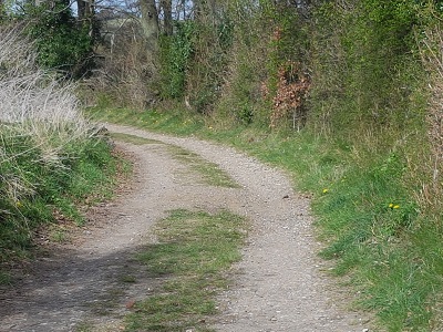
Looking generally Northwards
Photo: Phil Wadey, 10 Apr 2022
Photograph of Preston 17
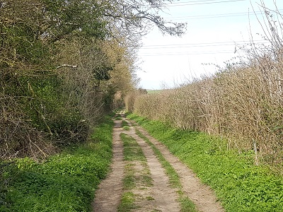
Continuing Northwards
Photo: Phil Wadey, 10 Apr 2022
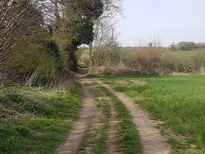
Photograph of Preston 17
Continuing Northwards
Photo: Phil Wadey, 10 Apr 2022
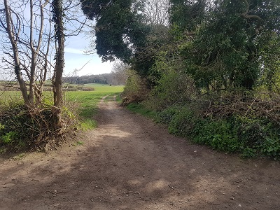
Photograph of Preston 17
Looking South from Hitchin 28
Photo: Phil Wadey, 10 Apr 2022

BHS As part of the British Horse Society’s work to record paths before Path Extinguishment Day, it was spotted that this route was unrecorded on the definitive map of rights of way. The historical evidence showed a continuous route with Hitchin 28 Byway, so an application was made in 2013 to record the route. The County Council agreed with the application and an order was made in 2021 and confirmed unopposed. This is a good example of ‘perfectly obvious paths’ that would be made unrecordable by the Countryside and Rights of Way Act 2000 if an application had not been made in time.

Legal History
22 Jun 2013: Application to record route as a byway. HCC reference NH/252.
29 Oct 18: Hertfordshire County Council was directed to determine the application by the Secretary of State. (FPS/M1900/14D/11)
21 Apr 2020: Hertfordshire County Council decided to make an order to record this route.
16 Dec 2021: The Hertfordshire County Council (Preston 17) Modification Order 2021, advertised 23 Jun 2022, confirmed 17 Nov 2022, added this route to the definitive map and statement as a byway open to all traffic.
10 Apr 2022: Tree cuttings obstruction reported to HCC, reference 401002633173.
22 Dec 2022: Confirmed order advertised.
Definitive Statement (15 Oct 2021)
Path: [Preston] 17.  Status: Byway Open to All Traffic.  Definitive Map sheet: 56
Commences from Charlton Road (Public Highway) and junction with Preston BR06 at TL 1680 2674 and then runs generally N for approx. 800m to join Hitchin BOAT 28 at TL 1667 2750 at the parish boundary.
Width: Varies between 4m and 10.5m between TL 1680 2674 and TL 1667 2750 as shown in the Hertfordshire County Council (Preston 17) Modification Order 2020.
Limitations: None.

© 2022 Patchetts Green Bridleways Trust. File reference: EC576.

Stats2