Paths Greenways Bridleways Tracks
 PG: OBJECTS: PROMOTION: DACORUM: Markyate
Please let us know if you ride a route that is not yet listed. Not all paths have numbers. Why not help with this year's Access and Riding Rights of Way survey?
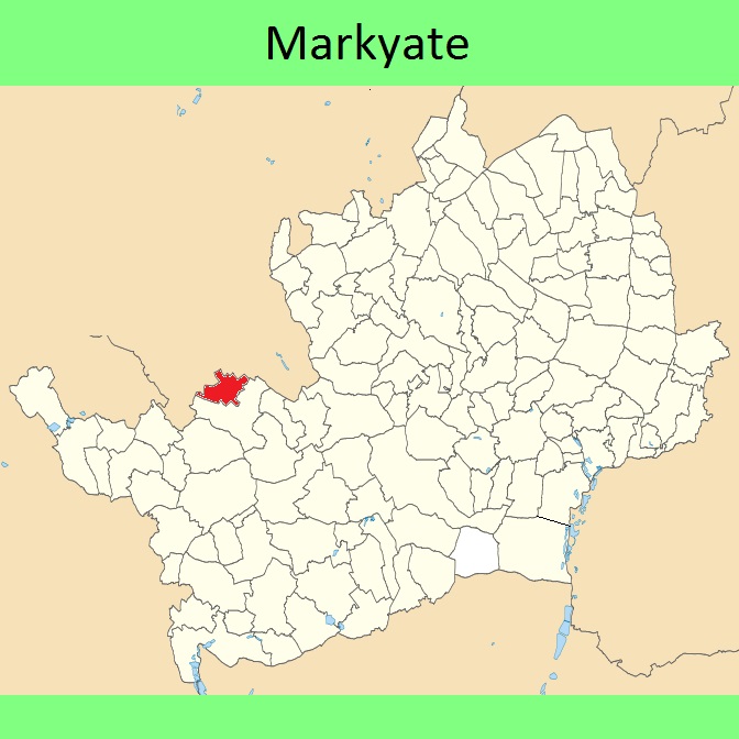
Markyate
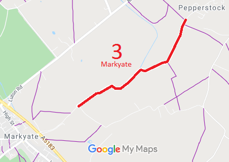
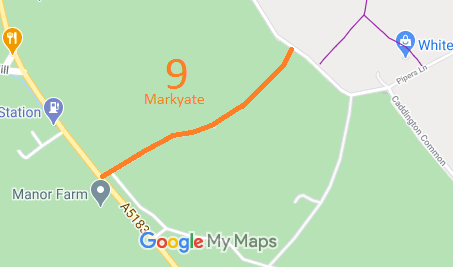
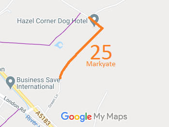
Map showing Markyate 3 Map showing Markyate 9 Map showing Markyate 25
Annotated maps reproduced courtesy of Googlemaps.

NPR Initial DM3 1910 Finance Act Valuation Map Local Government: Formerly within Hemel Hempstead Rural District. From 1974, part of Dacorum District.

© 2025 Patchetts Green Bridleways Trust. Parish boundary outline contains Ordnance Survey data © Crown copyright and database right / CC BY-SA