Paths Greenways Bridleways Tracks
 PG: OBJECTS: PROMOTION: Little Berkhamsted 22 to the public road
We're collecting user evidence for the council now: Download user evidence form - Read the Instructions - By 30 June 2026 please
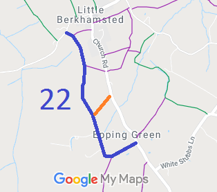
Map showing Little Berkhamsted 22 bridleway
Annotated map reproduced courtesy of Googlemaps.
This route, shown in orange, runs from Little Berkhamsted 22 bridleway generally northeastwards to the public road.
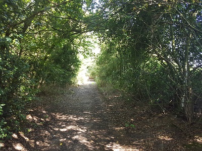
View along the route

View along route, from SW end
Photo credit: Phil Wadey, 2 Sep 2018
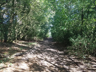
View along the route

View along route, looking NE
Photo credit: Phil Wadey, 2 Sep 2018
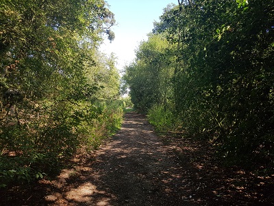
View along the route

View along route, looking NE
Photo credit: Phil Wadey, 2 Sep 2018
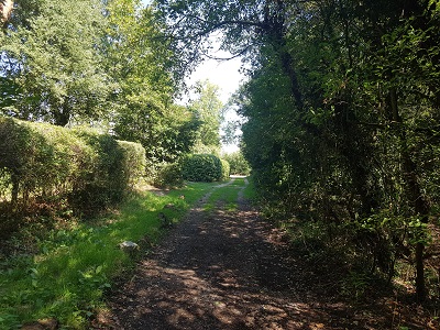
View along the route

View along route, approaching NE end
Photo credit: Phil Wadey, 2 Sep 2018

Legal History
1822: This route is shown on Bryant’s map in the manner of ‘Lanes and Bridleways’.
1838: This route was shown on the Little Berkhamsted tithe map coloured in the same way as other roads and numbered 359. Tithe apportionment 359 was described as a road and given zero tithe charge.
2 Feb 1953: This route was not recorded on the original definitive map and statement. DM sheet DM2-31.
31 Dec 1977: This route was not recorded on the special review draft map and statement. DM sheet SR-70.
Definitive Statement (4 Dec 2015)
Path: [Little Berkhamsted].  Recorded Status: None.  Definitive Map sheet: 70
[This route is not yet recorded on the definitive map and so there is no definitive statement.]
Maintainability
Depending on outcome of investigation:
This route is maintainable at the public expense because it was a highway before 1835, or
This route is maintainable at the public expense because it was a footpath or bridleway existing before 30 Apr 1959.

© 2026 Patchetts Green Bridleways Trust. File reference: EC312. HCC reference: EH/331.

Stats2