Legal History
1 Nov 1953: The route was recorded as a bridleway on the original definitive map and statement. DM sheets DM4-14 and DM4-17.
31 Dec 1977: The route was shown as a bridleway on the special review draft map and statement. DM sheet SR-11.
15 Dec 2011: The North Hertfordshire District Council (Holwell 5) Bridleway Diversion Order 2011 (confirmed 3 Mar 2012 but only became operative on 17 Jan 2017) moved the western end of the route slightly and set a width of 4m for the diverted section.
7 Apr 2017: The Hertfordshire County Council (Holwell 5) Legal Event Modification Order 2017 recorded the effect of the 2011 diversion order on the definitive map and statement.
|
Definitive Statement (1 Mar 2017)
Path: [Holwell] 5. Status: Bridleway.
Definitive Map sheet: 11
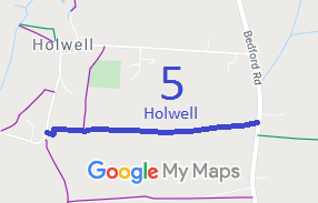
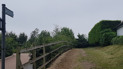
Commences from Pirton Road at TL 1642 3285 and continues E along the track to TL 1646 3285 then N to TL 1646 3287. Continues E past FP4 to join Hitchin - Biggleswade road N of "New Inn".
Width: 4m between TL 1642 3285 and TL 1646 3287.
Limitations: None between TL 1642 3285 and TL 1646 3287.
|