Paths Greenways Bridleways Tracks
 PG: OBJECTS: PROMOTION: Hitchin Garden Row Bridleway
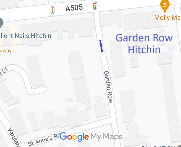
Map showing recorded Hitchin paths
Annotated map reproduced courtesy of Googlemaps.
This route joins the two pieces of Garden Row (both public roads). It was created by downgrading the public road between the two sections.

At the time of the 2024 Access Survey (10 Mar 24), there were bollards across the path, but sufficient space for horses or bicycles. There was no signage to indicate public path status.
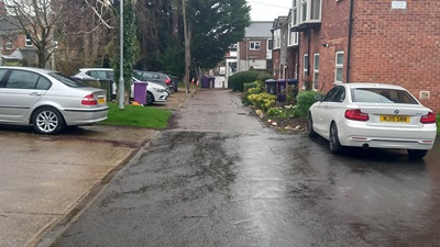
Photograph of Garden Row Hitchin
View north from Garden Row
Photo: Phil Wadey, 10 Mar 2024
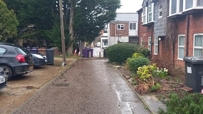
Photograph of Garden Row Hitchin
Continuing northwards
Photo: Phil Wadey, 10 Mar 2024
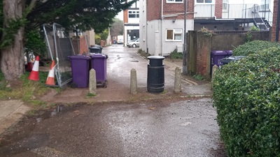
Photograph of Garden Row Hitchin
Continuing northwards
Photo: Phil Wadey, 10 Mar 2024
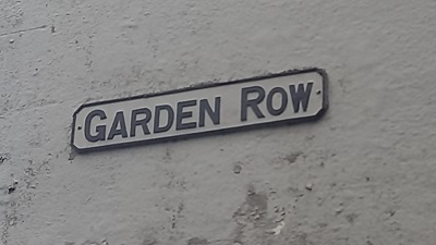
Photograph of Garden Row Hitchin
Sign north of route
Photo: Phil Wadey, 10 Mar 2024
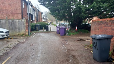
Photograph of Garden Row Hitchin
View south from North section
Photo: Phil Wadey, 10 Mar 2024

Legal History
The Conversion of Highways Into Footpaths or Bridleways (County of Hertford) (No. 1) Order 1980 changed this route from road to bridleway.
29 May 1980: London Gazette announcement of making the order.
  Location Information
Postcode for SATNAV for anyone inspecting path: SG5 1QD (Garden Row).

© 2024 Patchetts Green Bridleways Trust. File reference: EC1196.

Stats2