Paths Greenways Bridleways Tracks
 PG: OBJECTS: PROMOTION: Hertingfordbury Link Path between BW 27 and Byway 22
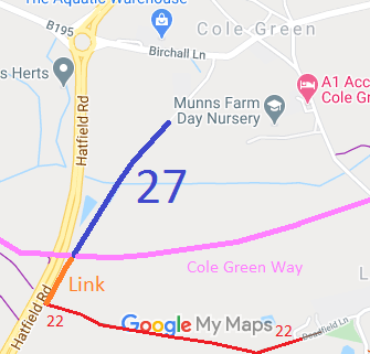
Map showing recorded Hertingfordbury paths
Annotated map reproduced courtesy of Googlemaps.
This path starts at the junction of Hertingfordbury 27 bridleway and the Cole Green Lane and runs generally southwestwards to a junction with Hertingfordbury 22 byway.

At the time of the BHS 2022 Access Survey (19 Sep 22), there were three sets of barriers (presumably to stop motor vehicles) with spaces to the side for horses. There was a sign at the southern end.
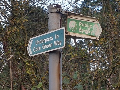
Photograph of Hertingfordbury 22 byway

Sign at junction with A414 and Link Path
Photo: Phil Wadey, 11 Nov 2022
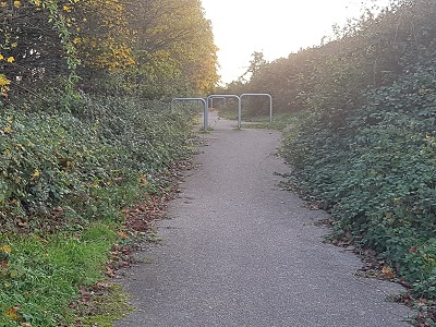
Photograph of Hertingfordbury 27 link

View from BW 27 and Cole Green Way
Photo: Phil Wadey, 11 Nov 2022
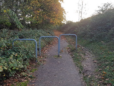
Photograph of Hertingfordbury 27 link

Continuing SW. 1st barrier set.
Photo: Phil Wadey, 11 Nov 2022
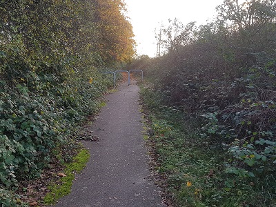
Photograph of Hertingfordbury 27 link

Continuing SW.
Photo: Phil Wadey, 11 Nov 2022
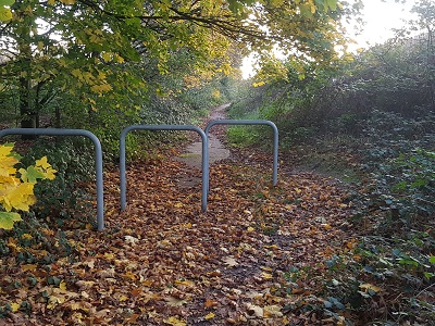
Photograph of Hertingfordbury 27 link

Continuing SW.
Photo: Phil Wadey, 11 Nov 2022
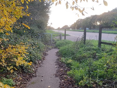
Photograph of Hertingfordbury 27 link

Approaching A414 and Byway 22
Photo: Phil Wadey, 11 Nov 2022

Legal History
1838: This route was shown on the Hertingfordbury tithe map coloured ochre and not subject to an apportionment.
Not recorded on the original (1953) definitive map as it was a public road.
28 Mar 1991: The Hertfordshire County Council A414 Cole Green ByPass Classified Road (Side Roads) Order 1991 provided for the 'improvement' of this route, and did not change its status.
[This route is not recorded and so there is no definitive statement.]

© 2022 Patchetts Green Bridleways Trust. File reference: ED227.

Stats2