Paths Greenways Bridleways Tracks
 PG: OBJECTS: PROMOTION: Hertford Heath 2 FP (part)
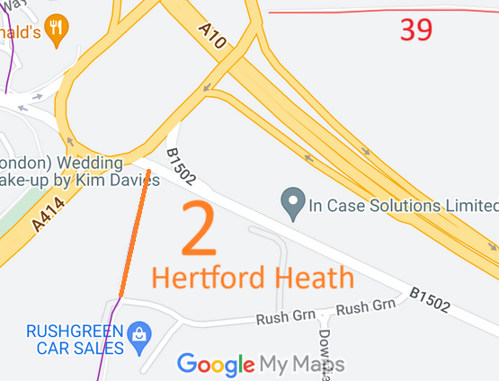
Map showing recorded Hertford Heath paths
Annotated map reproduced courtesy of Googlemaps.
This route runs from Stanstead Road (public road) generally southwards to Rush Green (public road).

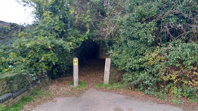
At the time of the 2024 Access Survey (17 Nov 24), the path had bollards at each end of the path, but the path was available for use by riders and cyclists. There was a signpost at the northern end indicating 'footpath', but none at the southern end.
Photograph of Hertford Heath 2
View N from Rush Green
Photo: Phil Wadey, 17 Nov 2024
Photograph of Hertford Heath 2
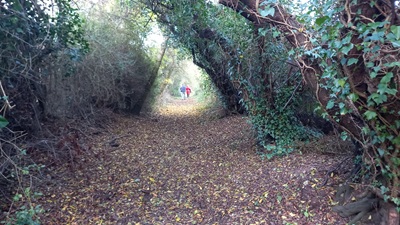
Continuing Northwards
Photo: Phil Wadey, 17 Nov 2024
Photograph of Hertford Heath 2
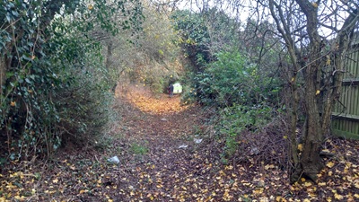
Continuing Northwards
Photo: Phil Wadey, 17 Nov 2024
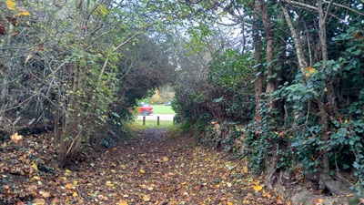
Photograph of Hertford Heath 2
Continuing Northwards
Photo: Phil Wadey, 17 Nov 2024
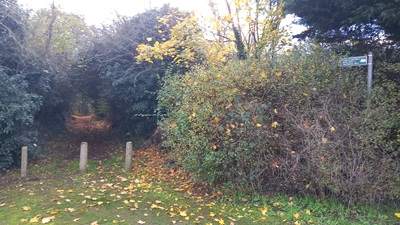
Photograph of Hertford Heath 2
View S from Stanstead Road
Photo: Phil Wadey, 17 Nov 2024

Legal History
1846: Hertford Heath 2 (Stanstead Road to Rush Green section) is shown on the Little Amwell tithe map as unnumbered, continuous with adjoining public roads and not subject to an apportionment.
1910: Hertford Heath 2 (Stanstead Road to Rush Green section) is shown on the Inland Revenue Valuation map as a white road.
2 Feb 1953: This route was not recorded on the original definitive map and statement. DM sheet DM2-23 (Herts 29 SE).
31 Dec 1977: The route was not shown on the special review draft map and statement. DM sheet SR-60 (TL31SE).
Application Process
Path Application Certificate Direction Inv Report Order Confirmed
EC1239 20 Oct 2024 EH/550          
Definitive Statement (4 Dec 2015)
Path: [Hertford Heath] 2.  Recorded Status: Footpath.  Definitive Map sheet: 59 and 60
Commences at junction with BOAT 1 E of Fox Hole Farm thence N past Rushgreen Farm and Gamels Hall to parish boundary thence along same to junction with county road at roundabout. (former Little Amwell FP2).
Maintainability
This route is maintainable at the public expense because it was a highway before 1835.

© 2024 Patchetts Green Bridleways Trust. File reference: EC1239. HCC reference: EH/550.

Stats2