Paths Greenways Bridleways Tracks
 PG: OBJECTS: PROMOTION: Hertford 60 FP and gap (applied-for bridleway)
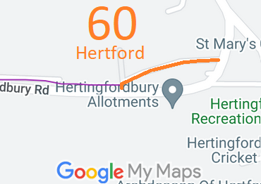
Map showing recorded Parish paths
Annotated map reproduced courtesy of Googlemaps.
This route goes from one point on Hertingfordbury Road (public road) to another point on the same road.

At the time of the 2023 Access Survey (22 Aug 23), the path was unobstructed. There was a council sign at the eastern end but not the western end.
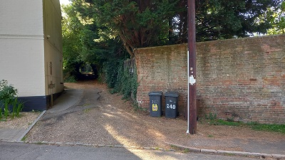
Photograph of Hertford 60
From eastern end
Photo: Phil Wadey, 22 Aug 2023
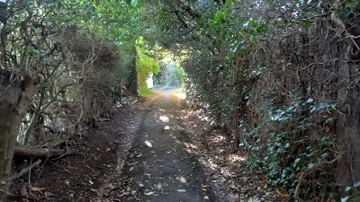
Photograph of Hertford 60
Continuing westwards
Photo: Phil Wadey, 22 Aug 2023
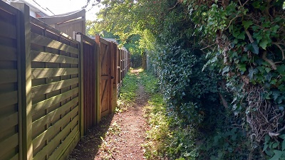
Photograph of Hertford 60
Continuing southwestwards
Photo: Phil Wadey, 22 Aug 2023
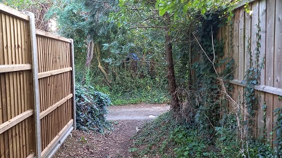
Photograph of Hertford 60
Continuing southwestwards
Photo: Phil Wadey, 22 Aug 2023
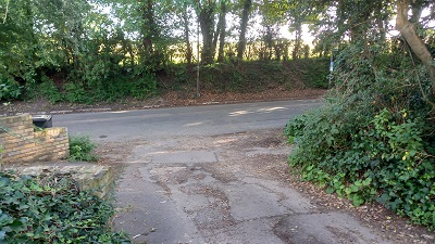
Photograph of Hertford 60
Approaching road
Photo: Phil Wadey, 22 Aug 2023

Legal History
1838: Eastern part of Hertford 60 FP was shown on the Hertingfordbury tithe map coloured ochre and not subject to an apportionment.
28 Jul 2023: Application for restricted byway status. HCC reference EH/531.
Application Process
Path Application Certificate Direction Inv Report Order Confirmed
EC754 28 Jul 2023 EH/531 23 Aug 2023        
Definitive Statement (4 Dec 2015)
Path: [Hertford] 60.  Recorded Status: Footpath.  Definitive Map sheet: 59
To the "Prince of Wales" P.H. Starts from below cottages turns sharply to right over crown of hill between hedges downhill to "Prince of Wales" P.H.
Maintainability
This route is maintainable at the public expense because it was a footpath or bridleway existing before 30 Apr 1959.

© 2024 Patchetts Green Bridleways Trust. File reference: EC754. DOBBIN reference: HER-0117. HCC reference: EH/531.

Stats2