Paths Greenways Bridleways Tracks
 PG: OBJECTS: PROMOTION: Hemel Hempstead Gravel Hill
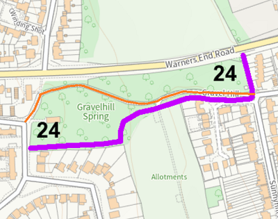
Map showing recorded Parish paths
Annotated map from Hertfordshire CC
This route runs from Gravel Lane (public road) generally eastwards to Sunnyhill Road (public road).

At the time of the BHS 2023 Access Survey (1 Aug 23), there were no gates were across the path, and no signposts at each end.
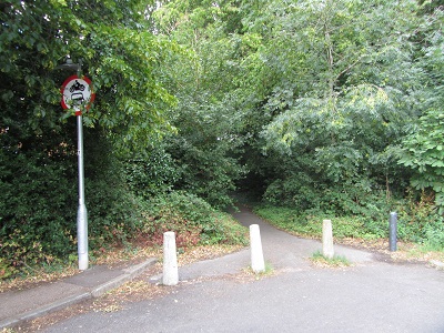
Photograph of Gravel Hill, Hemel Hempstead
View from Gravel Lane
Photo: Brian Worrell, 1 Aug 2023
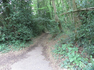
Photograph of Gravel Hill, Hemel Hempstead
Continuing Northeastwards
Photo: Brian Worrell, 1 Aug 2023
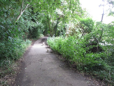
Photograph of Gravel Hill, Hemel Hempstead
Continuing Eastwards
Photo: Brian Worrell, 1 Aug 2023
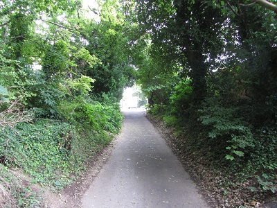
Photograph of Gravel Hill, Hemel Hempstead
Continuing Eastwards
Photo: Brian Worrell, 1 Aug 2023
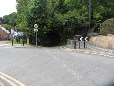
Photograph of Gravel Hill, Hemel Hempstead
View from Sunnyhill Road
Photo: Brian Worrell, 1 Aug 2023

Legal History
8 Dec 1980: The Dacorum District Council (Gravel Hill, Hemel Hempstead) (Prohibition of Driving) Order 1980 (made 28 Nov 1980) prohibited motor vehicles from using this route.
5 Dec 1980: London Gazette announcement of making the prohibition of driving order.
2 May 2006: NERC exemption s.67(2)(b) as route not on DM but was on LOS.
9 Oct 2023: Application for byway. HCC reference DAC/178.

© 2023 Patchetts Green Bridleways Trust. File reference: EC1190. HCC reference: DAC/178.

Stats2