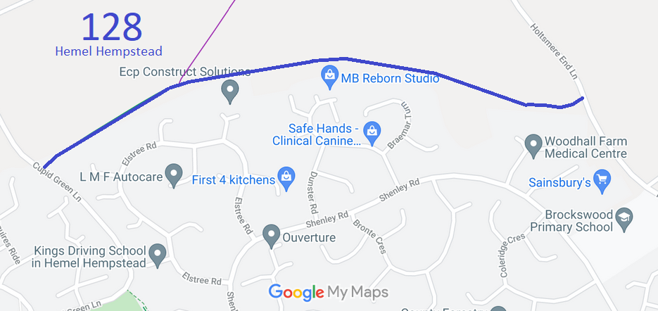
Annotated map reproduced courtesy of Googlemaps.
At the time of the BHS 2021 Access Survey (12 Sep 21), there was one unlocked gate across the path (with a space to the side for walkers, riders and cyclists). The gate would be difficult to open mounted. The route was signposted at each end, but with very small signs that had very faded writing. They would hardly be noticed by someone unfamiliar with the area. Fly tipping had taken place by the end of the path at the eastern end.
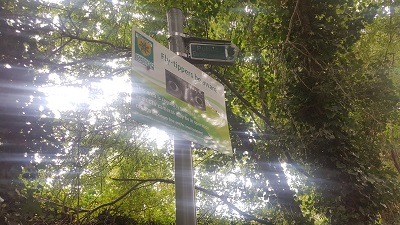
Sign at western end
Photo: Phil Wadey, 12 Sep 2021
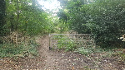
Gap and gateway, western end
Photo: Phil Wadey, 12 Sep 2021
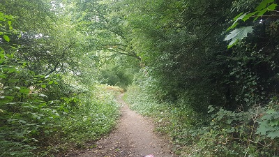
Continuing eastwards
Photo: Phil Wadey, 12 Sep 2021
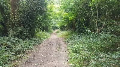
Continuing eastwards
Photo: Phil Wadey, 12 Sep 2021
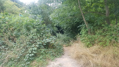
View from eastern end
Photo: Phil Wadey, 12 Sep 2021
 As part of the British Horse Society's work to record paths before
Path Extinguishment Day,
it was spotted that this route appeared to be an old road, and so an application was made in 2015 to record the route as a restricted byway.
