Paths Greenways Bridleways Tracks
 PG: OBJECTS: PROMOTION: Great Munden 4 (Recorded as Footpath)
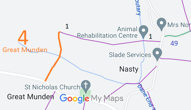
Map showing recorded Great Munden paths
Annotated map reproduced courtesy of Googlemaps.
This path starts on the public road and heads generally northwards to end at a junction with Great Munden 1 Footpath.

At the time of the BHS 2019 Access Survey (12 Sep 19), no gates were across the path and it was signposted footpath (as shown on the current definitive map) at the southern end.
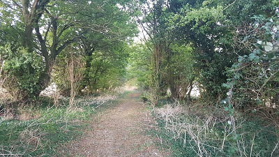
Photograph of Great Munden 4, part way along, looking northwards
Looking northwards along route
Photo: Phil Wadey, 12 Sep 2019

Legal History
25 Jul 2019: Application for restricted byway status. HCC reference EH/480.
Definitive Statement (4 Dec 2015)
Path: [Great Munden] 32.  Recorded Status: Footpath.  Definitive Map sheet: 85
Commences from county road W of St Nicholas's Church thence N to junction with FP1.

© 2022 Patchetts Green Bridleways Trust. File reference: EC1071. HCC reference: EH/480.

Stats2