Paths Greenways Bridleways Tracks
 PG: OBJECTS: PROMOTION: Graveley and Stevenage - Old Graveley Lane
This route is part of the link from the Stevenage Horse and Pony Route to the Letchworth Garden City Greenway.
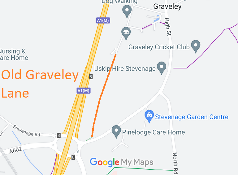
Map showing recorded Graveley and Stevenage paths
Annotated map reproduced courtesy of Googlemaps.
This route starts from the roundabout and runs northeastwards then northwards to end on Ashley Common (public road) in Graveley village. It is signed as for a cycle track, but examination of the highway evidence reveals that most is at least a restricted byway.

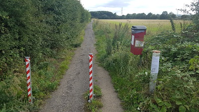
At the time of the BHS 2019 Access Survey (11 and 22 Aug 19), there were bollards to prevent wide vehicles in two places. Signage was consistent with a cycle track. Evidence of equestrian use was present.
Photograph of Old Graveley Lane
Looking South from Northern End
Photo: Phil Wadey, 22 Aug 2019
Photograph of Old Graveley Lane
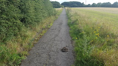
Continuing Southwards
Photo: Phil Wadey, 22 Aug 2019
Photograph of Old Graveley Lane
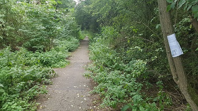
Continuing Southwards
Photo: Phil Wadey, 22 Aug 2019
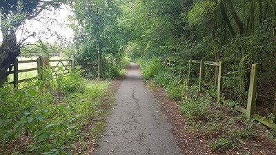
Photograph of Old Graveley Lane
Continuing Southwards
Photo: Phil Wadey, 11 Aug 2019
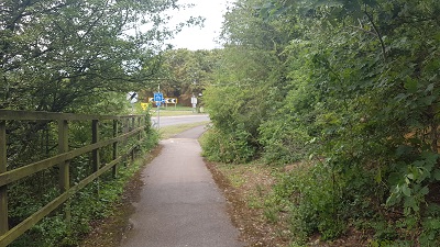
Photograph of Old Graveley Lane
Towards Roundabout
Photo: Phil Wadey, 11 Aug 2019

Legal History
14 Aug 2019: Application to record as restricted byway. HCC reference NH/320 and STV/41.

© 2022 Patchetts Green Bridleways Trust. File reference: EC1017. HCC reference: NH/320 and STV/41.

Stats2