
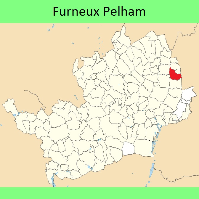
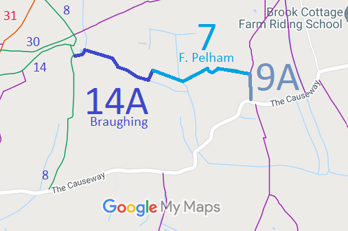
- Furneux Pelham 7 and 9A, Braughing 14A BW, from The Causeway to Braughing 8 BW
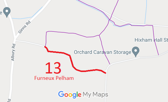
- Furneux Pelham 13 BOAT, from Track to Public Road by Kings
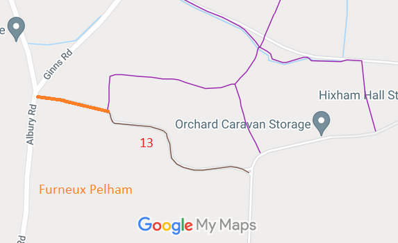
- Furneux Pelham route from Albury Road to Byway 13
- Furneux Pelham 16 RB, Green Farm Route
- Furneux Pelham 24 BW, from the public road at East End to the public road at Park Green (Essex)
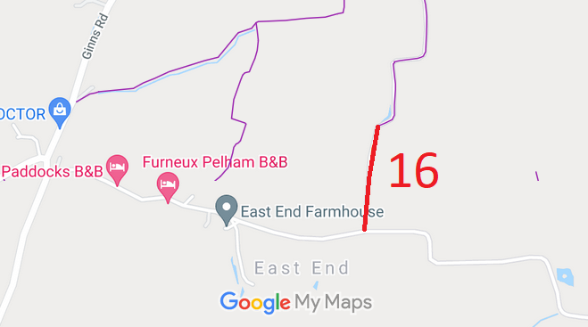
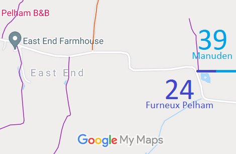
Annotated maps reproduced courtesy of Googlemaps.


 Local Government: Formerly within Braughing Rural District. From 1974, part of East Hertfordshire District.
Inclosure (1807). Tithe (1840) DSA4/76/2.

