Paths Greenways Bridleways Tracks
 PG: OBJECTS: PROMOTION: Croxley Green Lavrock Lane riding route
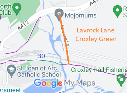
Map showing recorded Batchworth and Croxley Green paths
Annotated map reproduced courtesy of Googlemaps.
This route starts on the A412 Scotts Hill (public road) and runs generally southwards, through a junction with the link path to Croxley Green 11 bridleway then passing under the railway with a good height clearance and width, to meet Batchworth 30.

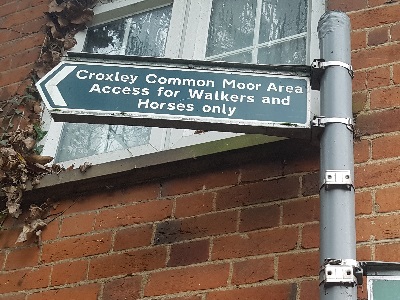
At the time of the BHS 2022 Access Survey (6 Nov 22), there were no gates or other obstructions across the path. The route was signposted at its northern end.
Photograph of Lavrock Lane, Croxley Green
Sign at A412 junction
Photo: Phil Wadey, 6 Nov 2022
Photograph of Lavrock Lane, Croxley Green
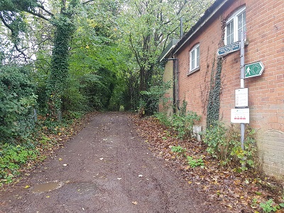
View from A412
Photo: Phil Wadey, 6 Nov 2022
Photograph of Lavrock Lane, Croxley Green
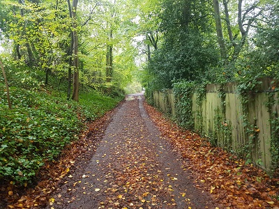
Continuing southwards
Photo: Phil Wadey, 6 Nov 2022
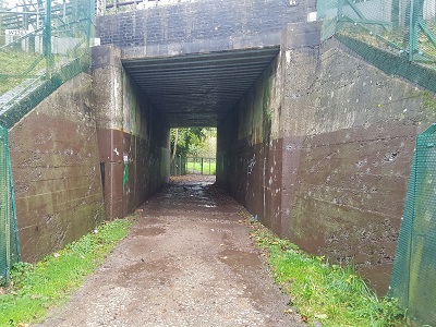
Photograph of Lavrock Lane, Croxley Green
Metropolitan Line Railway Underbridge
Photo: Phil Wadey, 6 Nov 2022
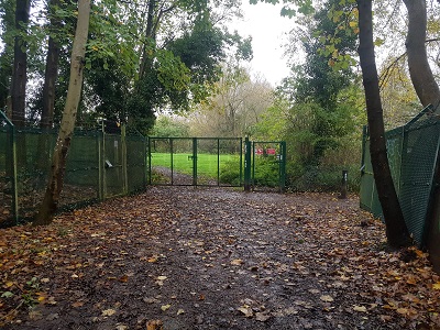
Photograph of Lavrock Lane, Croxley Green
Junction with Rickmansworth 30
Photo: Phil Wadey, 6 Nov 2022
HCC This route is shown as part of route 81 in the emerging Three Rivers Walking and Cycling Plan (2022).
This route is also shown as route 8/121 to record bridleway or byway rights in Hertfordshire County Council's Rights of Way Improvement Plan.
The route is already in place and being used, but this provides an opportunity to have the bridleway rights recorded.

Legal History
20 Jun 1953: The route was not recorded on the original definitive map and statement. DM sheet DM3-42 (TQ09SE) and (trace) DM3-36 (TQ09NE).
HCC advise no objections relating to lack of recording Lavrock Lane at that time.
31 Dec 1977: The route was not shown on the special review draft map and statement. DM sheets SR-89 and (trace) SR-83.
[This route is not recorded on the definitive map and so there is no definitive statement.]

© 2023 Patchetts Green Bridleways Trust. File reference: EC876.

Stats2