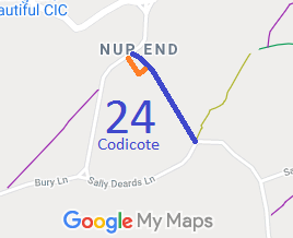
Annotated map reproduced courtesy of Googlemaps.
In addition to the definitive route (shown blue) there is a ridden route at the northern end that is slightly to the west and comes out through the entrance to the business park. The Photographs below show this ridden route. It also has Hertfordshire County Council waymark arrows on it at the two right-angled bends.
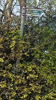
Sign in Nup End
Photo: Phil Wadey, 18 Apr 2021
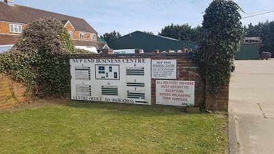 Business Park entrance at Nup End
Photo: Phil Wadey, 18 Apr 2021
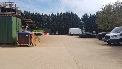 Through Business Park
Photo: Phil Wadey, 18 Apr 2021
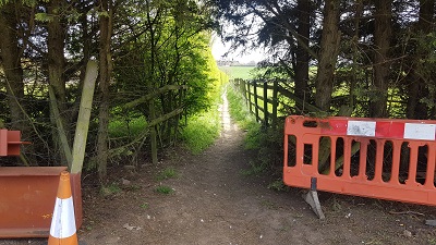 Leaving the Business Park
Photo: Phil Wadey, 18 Apr 2021
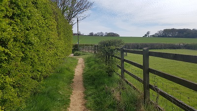 Towards Hogsnorton Lane
Photo: Phil Wadey, 18 Apr 2021
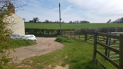 Junction Hogsnorton Lane and Sally Deards Lane
Photo: Phil Wadey, 18 Apr 2021