
| Paths Greenways Bridleways Tracks | ||
| PG: OBJECTS: PROMOTION: Chipperfield 11 BW Stoney Lane | ||
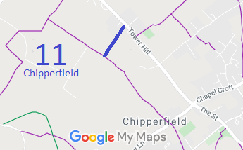 Annotated map reproduced courtesy of Googlemaps. |
The recorded bridleway runs from Tower Hill (public road) to Footpath 10. However, there is evidence of a continuation route that is being investigated.
At the time of the 2023 Access Survey (28 Mar 23), there were no gates or other obstructions across Chipperfield 11 bridleway. The sign at the northeastern end was a standard road name plate reading 'Stoney Lane'. The sign at the junction with the footpath read, 'Public Bridleway'. Update: 19 Apr 23 new 'Public Bridleway' sign at junction with Tower Hill. |
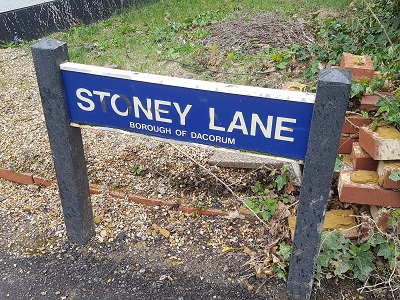 Sign at junction with Tower Hill Photo: Phil Wadey, 28 Mar 2023 |
||
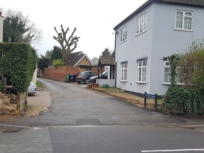 View from Tower Hill Photo: Phil Wadey, 28 Mar 2023 |
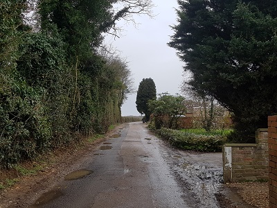 Continuing southwestwards Photo: Phil Wadey, 28 Mar 2023 |
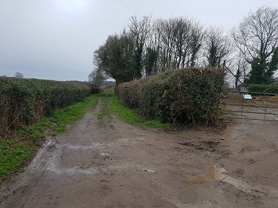 Continuing southwestwards Photo: Phil Wadey, 28 Mar 2023 |
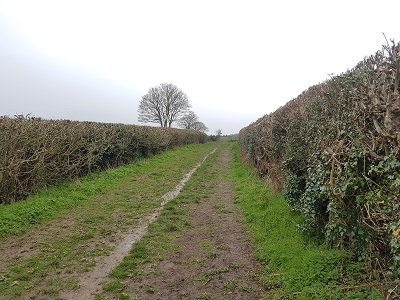 Continuing southwestwards Photo: Phil Wadey, 28 Mar 2023 |
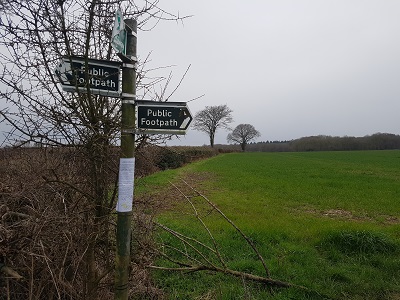 Sign at junction with FP Photo: Phil Wadey, 28 Mar 2023 |

 As part of the British Horse Society's work to record paths before
Path Extinguishment Day,
it was spotted that Chipperfield 11 was a cul-de-sac for riders, so an investigation was needed. The historical evidence showed a continuous route from Tower Hill to Woodmans Farm, so an application was made in 2023 to record the route as a restricted byway. | ||||
|
| ||||||||||||||||||||||||||||||
© 2025 Patchetts Green Bridleways Trust.
File reference: EC1089.
HCC reference: DAC/177.
