Patchetts Green Bridleways Trust
 PG: OBJECTS: PROMOTION: Bushey 76 - Finch Lane (highway subject to traffic regulation order prohibiting motor vehicles)
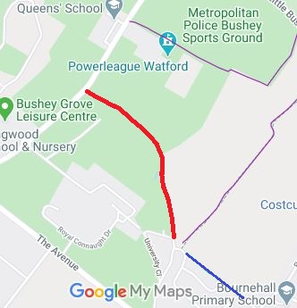
Map showing Bushey Finch Lane
Annotated map reproduced courtesy of Googlemaps.
This route runs from Aldenham Road to Homefield Road. It is open and available for use, and signposted, but is not yet shown on the definitive map.

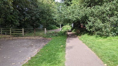
At the time of the BHS 2021 Access Survey (13 Sep 21). There was a locked gate at the southern end with a space to the side. At the northern end, posts prevent wide vehicles.
Bushey, Finch Lane
1. Junction with Homefield Road
Photo: Michael Rackham, 13 Sep 2021
Bushey, Finch Lane
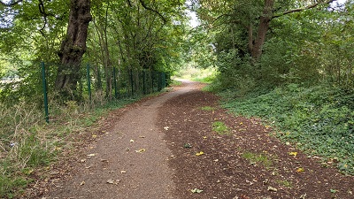
2. View northwards
Photo: Michael Rackham, 13 Sep 2021
Bushey, Finch Lane
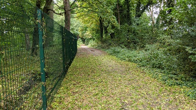
3. View northwards
Photo: Michael Rackham, 13 Sep 2021
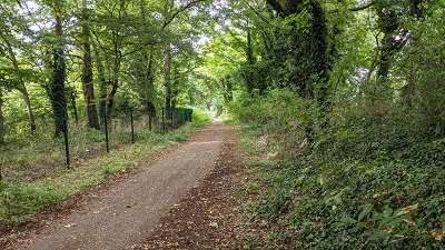
Bushey, Finch Lane
4. View northwestwards
Photo: Michael Rackham, 13 Sep 2021
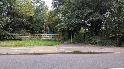
Bushey, Finch Lane
5. View SE from Aldenham Road
Photo: Michael Rackham, 13 Sep 2021
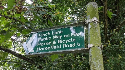
Bushey, Finch Lane
6. Sign at junction with Aldenham Road
Photo: Michael Rackham, 13 Sep 2021

BADFA BHS PGBT Applications were made to record this route by the Bushey and District Footpaths Association and by the British Horse Society's local access officer. The former International University adjacent to the route offered a bridleway link, but only if the route were recorded. Sadly, it took over twenty years before the County Council would look at the applications, and even that was because they were directed to by the Secretary of State. The offered link bridleway is, of course, now long gone. If you are unhappy about this, why not ask your county councillor to fund the definitive map work properly?
Legal History
1840: Finch Lane was shown on the Bushey tithe map as not subject to an apportionment.
9 Oct 1973: The Bushey (Finch Lane) (Prohibition of Driving) Order 1973 prohibits use of this route by motor vehicles.
9 Aug 1995: Application made to record route. HCC reference HTM/115.
19 Feb 2018: Secretary of State directed Hertfordshire County Council to make a decision on the application by 19 Aug 2018. PINS reference FPS/M1900/14D/6.
27 Nov 2019: The Hertfordshire County Council (Bushey 76) Modification Order 2019 was made to record this route as a byway.
29 Jul 2022: Planning Inspectorate commence order determination procedures. PINS reference ROW/3289014.
6 Jun 2023: Site Visit held by the Inspector, 10am, Point B (Homefield Road)
DRAFT Definitive Statement (19 Nov 2019)
Path: [Bushey] 76.  Status: BOAT. Definitive Map sheet: 84.
Finch Lane. Commences from Aldenham Road (public road) at TQ 1287 9656 then runs along the Lane generally SSE for approx. 650m to the junction of Finch Lane and Homefield Road (public roads) at TQ 1316 9605.
Width: Varies between 10m and 26m from TQ 1287 9656 to TQ 1316 9605 as shown in the Hertfordshire County Council (Bushey 76) Modification Order 2019.
Limitations: None.

© 2023 Patchetts Green Bridleways Trust. File reference: EC116.

Stats2
