Legal History
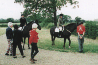
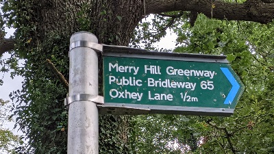
4 Sep 1998: Official opening of the bridleway. (Legal work will follow.)
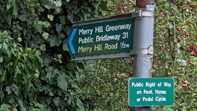
11 Feb 2000: The Merry Hill Public Path Creation Agreement 2000 was executed by The Woodland Trust and the Hertfordshire County Council, to record the route was a bridleway.
2005: The Hertfordshire County Council Merryhill Greenway
(Bushey 17 & 65, Watford Rural 12 & 31) Legal Event Modification Order 2005 added this path to the definitive map and statement.
|
Definitive Statement (4 Dec 2015)
Path: [Bushey] 65. Status: Bridleway
Definitive Map Sheet: 90.
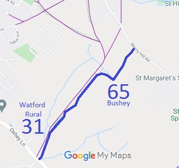
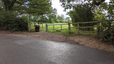
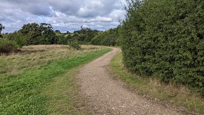
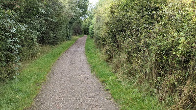
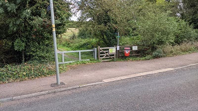
Commences at junction with Merry Hill Road (county road) at TQ 1304 9473 thence south-west on southern side of boundary for approx. 230 metres to TQ 1292 9455, westwards for approx. 110 metres to a junction with FP17 at TQ 1282 9458, continuing on the south side of and parallel to FP17 for approx. 420 metres to a junction with BR31 Watford Rural at TQ 1255 9424.
Width: Varies from 10 to 32 metres
Limitations: The right of the woodland trust to plant tress, but not such that the useable width is
reduced to less than 6 metres. The right to erect and maintain a gate/bollards/fence (see
Creation Agreement) retaining a useable width of not less than 1.53 metres within 10
metres of TQ 1304 9473, TQ 1292 9455, TQ 1282 9458 and TQ 1255 9424.
Path: [Watford Rural] 31. Status: Bridleway
Definitive Map Sheet: 90.
Commences from its junction with BR65 Bushey, at TQ 1255 9424 thence generally
southwards parallel to FP12 for approx. 200 metres to its junction with Oxhey Lane at TQ 1248 9405.
Width: Varies from 10 to 15 metres
Limitations: The right of the woodland trust to plant tress, but not such that the useable width is
reduced to less than 6 metres. The right to erect and maintain a gate/bollards/fence (see
Creation Agreement) retaining a useable width of not less than 1.53 metres within 10
metres of TQ 1248 9405 and TQ 1255 9424.
|

 A special acknowledgement is due to the Bushey and District
Footpaths Association for their work towards the creation of this bridleway.
