Paths Greenways Bridleways Tracks
 PG: OBJECTS: PROMOTION: Bramfield 4 and Tewin 4
Map showing recorded Bramfield and Tewin paths
Annotated map reproduced courtesy of Googlemaps.
This route starts from Hertford Road (public road) as Tewin 4 bridleway and continues generally north and northeastwards, changing to Bramfield 4 at the parish boundary to end on Bramfield 3 bridleway.

At the time of the 2024 Access Survey (25 Jun 24), there were two pairs of wooden bollards at the southern end, and it was signposted as bridleway.
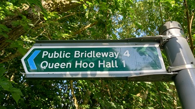
Photo of sign where Tewin 4 bridleway leaves the road
Sign at Hertford Road
Photo: Phil Wadey, 25 Jun 2024
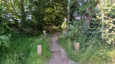
Photo of Tewin 4 bridleway
Junction with Hertford Road
Photo: Phil Wadey, 25 Jun 2024
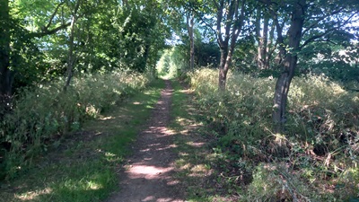
Photo of Tewin 4 bridleway
Continuing Northwards
Photo: Phil Wadey, 25 Jun 2024
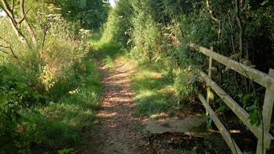
Photo of Tewin 4 bridleway
Continuing Northwards
Photo: Phil Wadey, 25 Jun 2024
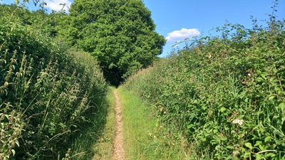
Photo of Tewin 4 bridleway
Continuing Northeastwards
Photo: Phil Wadey, 25 Jun 2024
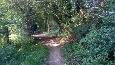
Photo of Bramfield 4 bridleway
Continuing Northeastwards
Photo: Phil Wadey, 25 Jun 2024

Legal History
1838: Tewin 4 and Bramfield 4 were shown on the Tewin tithe map as not subject to an apportionment.
1910: Tewin 4 was not valued during the 1910 Valuation. (Map: IR 126/4/223)
2 Feb 1953: Tewin 4 was recorded as a bridleway on the original definitive map and statement. DM sheet DM2-20 (Hertfordshire 29-5).
16 Jun 2024: Application to record as restricted byway. Hertfordshire County Council reference EH/543.
Application Process
Path Application Certificate Direction Inv Report Order Confirmed
EC748 16 Jun 2024 EH/543 25 Jun 2024        
Definitive Statement (4 Dec 2015)
Path: [Bramfield] 4.  Status: Bridleway.  Definitive Map sheets: 44 and 58
Commences at junction with BR3 S of Bramfield Park Wood thence SW to parish boundary towards Tewin.

Statement should refer to junction with Tewin 4.

Path: [Tewin] 4.  Status: Bridleway.  Definitive Map sheet: 58
Commences at junction with county road (C49) N of Flexleys Wood thence N and NE to parish boundary and to junction with Park Lane (Bramfield parish) at S corner of Bramfield Park Wood.

Statement should refer to junction with Bramfield 4.

Maintainability
This route is maintainable at the public expense because it was a footpath or bridleway existing before 30 Apr 1959.

© 2024 Patchetts Green Bridleways Trust. File reference: EC748. DOBBIN reference: HER-0153. HCC reference: EH/543.

Stats2